
Brouwersbrug, bridge in Haarlem, the Netherlands
Location: Haarlem
Inception: 1967
GPS coordinates: 52.38245,4.62866
Latest update: March 12, 2025 10:08

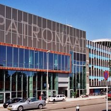
Patronaat
68 m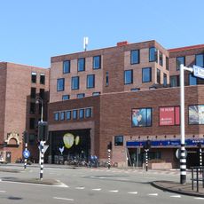
Pathé Haarlem
105 m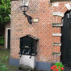
Frans Loenenhofje
242 m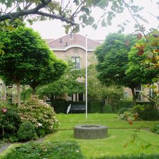
Zuiderhofje
233 m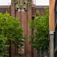
Hoofdpostkantoor, Haarlem
203 m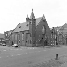
De Hoeksteen
119 m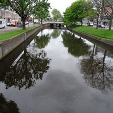
Raaksbrug
24 m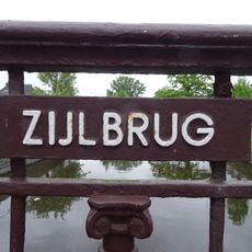
Zijlbrug
122 m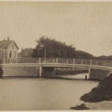
Prins Hendrikbrug
232 m
Woonblok in eclectisch-renaissancistische stijl
161 m
Leidsevaart 2
35 m
Johan van Oldenbarnevelt
167 m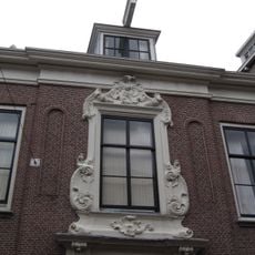
Zijlstraat 27
170 m
Pand met gepleisterde lijstgevel
242 m
Pand met klokgevel, 1747, gebeeldhouwde natuurstenen voluten op de hoeken aan weerszijden
198 m
Zijlstraat 35, Haarlem
190 m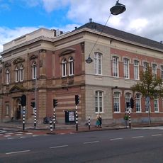
Gemeenteschool voor Meisjes, Haarlem
220 m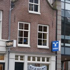
Pand met klokgevel, horizontaal afgedekt
221 m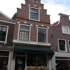
Zijlstraat 3, Haarlem
142 m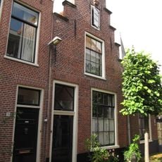
Pand met trapgeveltje
225 m
Zijlstraat 19, Haarlem
154 m
Pand met lijstgevel
232 m
Zijlstraat 5, Haarlem
144 m
Pand met rechte kroonlijst, in deze gevel bevindt zich bovengenoemde poort nr 32, coomanshof
219 m
Pand met klokgevel, gebeeldhouwde natuurstenen voluten op de hoeken aan weerszijden
205 m
Pand met lijstgevel, houten omlijsting
182 m
Hoekhuis met afgeschuinde hoek, lijstgevel uit laatst der 18e eeuw
141 m
Witte Herenstraat 49, Haarlem
207 mReviews
Visited this place? Tap the stars to rate it and share your experience / photos with the community! Try now! You can cancel it anytime.
Discover hidden gems everywhere you go!
From secret cafés to breathtaking viewpoints, skip the crowded tourist spots and find places that match your style. Our app makes it easy with voice search, smart filtering, route optimization, and insider tips from travelers worldwide. Download now for the complete mobile experience.

A unique approach to discovering new places❞
— Le Figaro
All the places worth exploring❞
— France Info
A tailor-made excursion in just a few clicks❞
— 20 Minutes