
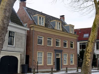
Dorpsstraat 54, Nieuwegein, Rijksmonument op Dorpsstraat 54
Location: Nieuwegein
Address: Dorpsstraat 54
GPS coordinates: 52.00376,5.09445
Latest update: March 18, 2025 16:01
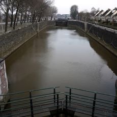
Koninginnensluis
217 m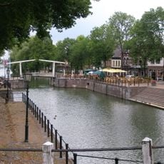
Oude Sluis, Vreeswijk
70 m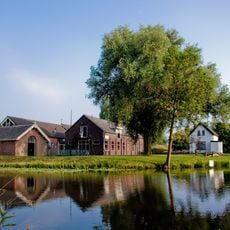
Fort Vreeswijk
377 m
Museumwerf Vreeswijk
548 m
Sint-Barbarakerk
403 m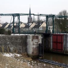
Emmabrug
207 m
Rijksbeschermd gezicht Vreeswijk
67 m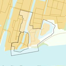
Rijksbeschermd gezicht Vreeswijk Uitbreiding
242 m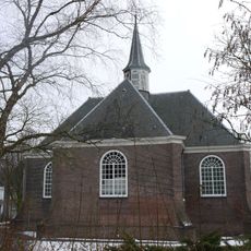
Dorpskerk
18 m
Lekpoort
880 m
Oude Sluis 12, Nieuwegein
142 m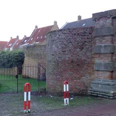
In het pand of op de grens van het erf bevindende stadsmuur(resten)
880 m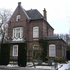
Villa Hoog Sandveld
450 m
Langendijk 30, Vianen
865 m
Oude Sluis 13, Nieuwegein
139 m
Langendijk 18, Vianen
877 m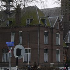
Pastorie Barbarakerk
375 m
Arbeiderswoningen Koninginnensluis
368 m
Langendijk 56, Vianen
839 m
Fröbelschool
21 m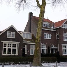
Directeurswoning bij het Prins Hendrik Internaat/de Christelijke School voor Schipperskinderen
652 m
Fort Vreeswijk, aardwerk
390 m
Langendijk 54, Vianen
847 m
Langendijk 28, Vianen
861 m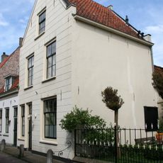
In het pand of op de grens van het erf bevindende stadsmuur(resten)
870 m
Langendijk 55, Vianen
862 m
Fort Vreeswijk, fortwachterswoning
404 m
Fort Vreeswijk, artillerieloods
404 mVisited this place? Tap the stars to rate it and share your experience / photos with the community! Try now! You can cancel it anytime.
Discover hidden gems everywhere you go!
From secret cafés to breathtaking viewpoints, skip the crowded tourist spots and find places that match your style. Our app makes it easy with voice search, smart filtering, route optimization, and insider tips from travelers worldwide. Download now for the complete mobile experience.

A unique approach to discovering new places❞
— Le Figaro
All the places worth exploring❞
— France Info
A tailor-made excursion in just a few clicks❞
— 20 Minutes