
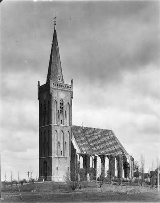
Toren der Hervormde Kerk, Rijksmonument op Radboudstraat bij 1
Location: Opmeer
Address: Radboudstraat bij 1
GPS coordinates: 52.71723,4.93435
Latest update: March 25, 2025 06:12
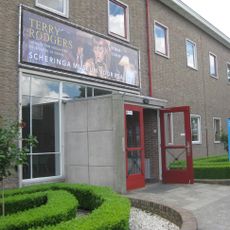
Scheringa Museum of Realist Art
2.8 km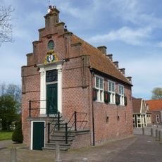
Raadhuis
2.3 km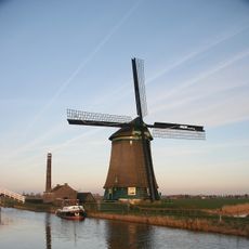
Kaagmolen
2.9 km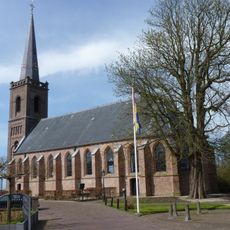
Nederlands Hervormde Kerk
2.2 km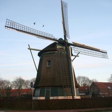
De Lastdrager
135 m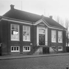
Raadhuis, Hoogwoud
80 m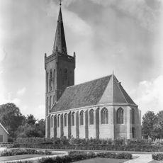
Nederlands Hervormde Kerk, Hoogwoud
0 m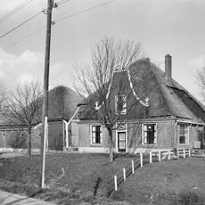
Gouwe 48, Hoogwoud
2.7 km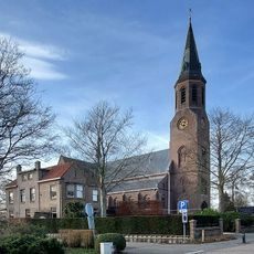
Sint-Jehannes Bertetsjerke
736 m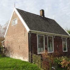
Arbeiderswoning
638 m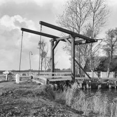
Wipbrug
2.3 km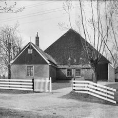
Koningspade 23, Hoogwoud
574 m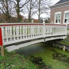
Voetbrug behorende bij de rentenierswoning
487 m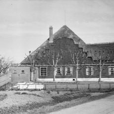
De Willemshoeve, Hoogwoud
167 m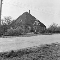
Koningspade 31, Hoogwoud
1.2 km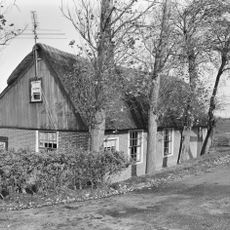
Hogeweg 1, Opmeer
2.2 km
Terrein waarin sporen van bewoning
2.6 km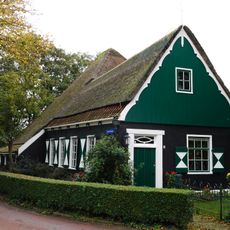
Schoolstraat 4, Aartswoud
2.5 km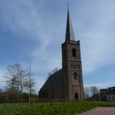
Nederlands Hervormde Kerk, Spanbroek
2.2 km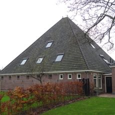
Stolpschuur
511 m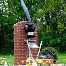
Short Stirling-monument
1.2 km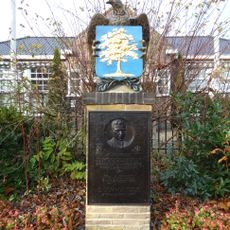
Oorlogsmonument
62 m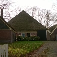
Schuur
574 m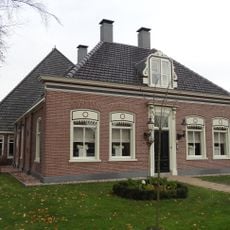
Herenweg 46, Hoogwoud
511 m
Beukenhof
2.3 km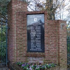
Oorlogsmonument
2.2 km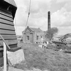
Gemaal Kaagpolder
2.8 km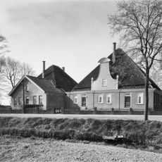
Westerstraat 8, Veldhuis
2.9 kmReviews
Visited this place? Tap the stars to rate it and share your experience / photos with the community! Try now! You can cancel it anytime.
Discover hidden gems everywhere you go!
From secret cafés to breathtaking viewpoints, skip the crowded tourist spots and find places that match your style. Our app makes it easy with voice search, smart filtering, route optimization, and insider tips from travelers worldwide. Download now for the complete mobile experience.

A unique approach to discovering new places❞
— Le Figaro
All the places worth exploring❞
— France Info
A tailor-made excursion in just a few clicks❞
— 20 Minutes