
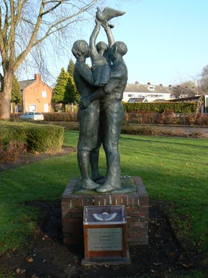
Vrijheidsmonument, war memorial in Finsterwolde, the Netherlands
Location: Oldambt
Inception: 1982
Official opening: 1982
Address: Dorpshuisweg, 9684 EC, Finsterwolde (Oldambt), Groningen, Nederland
GPS coordinates: 53.19766,7.08850
Latest update: March 15, 2025 21:25
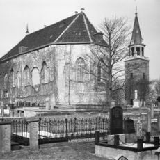
Hervormde Kerk, Finsterwolde
2.6 km
Hervormde Kerk, Oostwold
3.2 km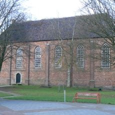
Bartholomeuskerk, Beerta
2.6 km
De Hoop
2.1 km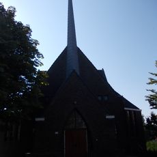
Reformed Church, Oostwold
3 km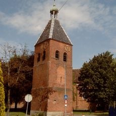
Hervormde kerk, vrijstaande toren
2.6 km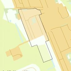
Rijksbeschermd gezicht Oostwold
3.1 km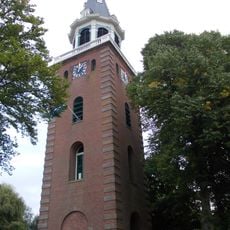
Hervormde kerk, vrijstaande klokkentoren
2.6 km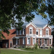
Huningaheerd
3.3 km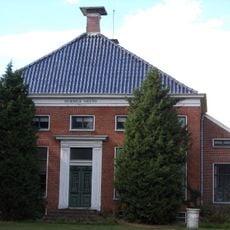
Hoofdstraat 153, Beerta
3.2 km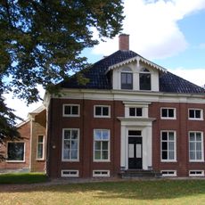
Hoofdstraat 137, Beerta
3.4 km
Goldhoorn 33, Finsterwolde
1.4 km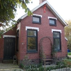
Nieuweweg 86, Oostwold
2.4 km
Stoomgemaal Oostwold
3.3 km
Hervormde Pastorie, Oostwold
3.1 km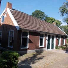
Wilhelminalaan 14, Oostwold
3.2 km
Goldhoorn 33, Oostwold
2.3 km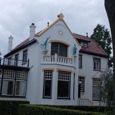
Sonnevanck
958 m
Hoofdstraat 156, Beerta
2.7 km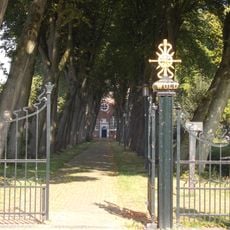
Hervormde kerk, toegangshek
3.1 km
Huningaheerd, tuin
3.3 km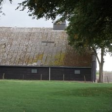
Bijschuur onder wolfsdak
2.4 km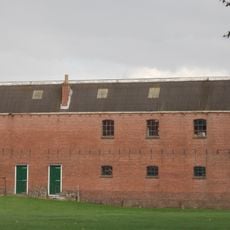
Graanpakhuis
2.4 km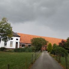
Oudeweg 39, Beerta
2.4 km
Hoofdweg 23, Finsterwolde
611 m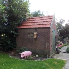
Arbeiderswoning, stookhut
2.4 km
Pelmolenlaan 1, Oostwold
3 km
Hoofdstraat 201, Beerta
2.9 kmReviews
Visited this place? Tap the stars to rate it and share your experience / photos with the community! Try now! You can cancel it anytime.
Discover hidden gems everywhere you go!
From secret cafés to breathtaking viewpoints, skip the crowded tourist spots and find places that match your style. Our app makes it easy with voice search, smart filtering, route optimization, and insider tips from travelers worldwide. Download now for the complete mobile experience.

A unique approach to discovering new places❞
— Le Figaro
All the places worth exploring❞
— France Info
A tailor-made excursion in just a few clicks❞
— 20 Minutes