
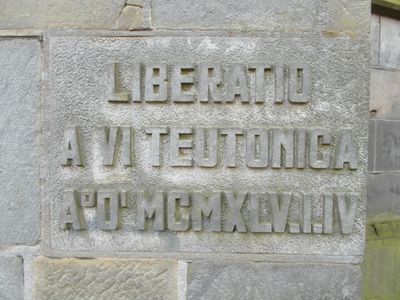
Bevrijdingssteen, war memorial in Haaksbergen, the Netherlands
Location: Haaksbergen
Inception: 1945
Official opening: 1945
Address: Markt 10, 7481 HT, Haaksbergen (Haaksbergen), Overijssel, Nederland
GPS coordinates: 52.15405,6.74144
Latest update: March 9, 2025 02:36
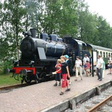
Museum Buurtspoorweg
530 m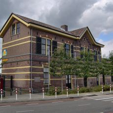
Haaksbergen railway station
522 m
Church of Saint Pancras
82 m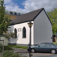
Synagoge (Haaksbergen)
151 m
De Korenbloem
726 m
HH. Bonifatius en Gezellenkerk, Haaksbergen
1.5 km
Hervormde kerk, Haaksbergen
105 m
Israelitische begraafplaats
874 m
Synagoge
149 m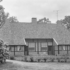
Karelskamp
1.3 km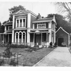
Villa Jordaan
295 m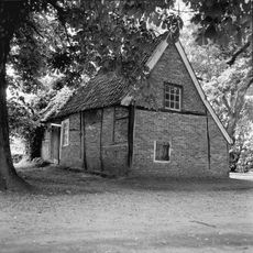
Klaashuisstraat 62, Haaksbergen
1 km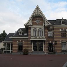
Markt 8, Haaksbergen
106 m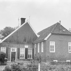
Hasseltweg 19, Haaksbergen
1.2 km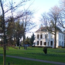
De Blanckenborgh
825 m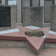
Herdenkingsmonument
105 m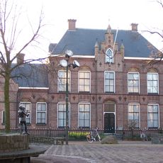
Pastorie St. Pancratiuskerk
72 m
Jhr. von Heijdenstraat 8, Haaksbergen
131 m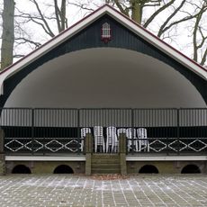
Muziekkoepel Haaksbergen
1.4 km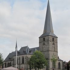
Toren van de Sint-Pancratiuskerk
73 m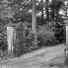
Twee natuurstenen hekpijlers
1.3 km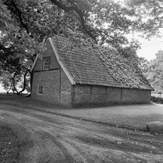
Voormalige blauwververij
1.2 km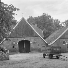
Scholtenhagen farm
1.3 km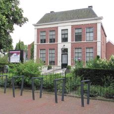
Pastorie met aangebouwd koetshuis
45 m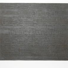
Plaquette in het gemeentehuis
105 m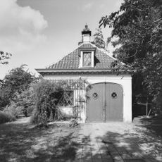
Koetshuis
825 m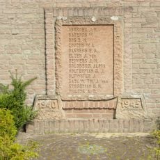
‘D. Jordaan & Zonen’s Textielfabrieken’
403 m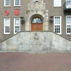
De moeder van het verzet
105 mReviews
Visited this place? Tap the stars to rate it and share your experience / photos with the community! Try now! You can cancel it anytime.
Discover hidden gems everywhere you go!
From secret cafés to breathtaking viewpoints, skip the crowded tourist spots and find places that match your style. Our app makes it easy with voice search, smart filtering, route optimization, and insider tips from travelers worldwide. Download now for the complete mobile experience.

A unique approach to discovering new places❞
— Le Figaro
All the places worth exploring❞
— France Info
A tailor-made excursion in just a few clicks❞
— 20 Minutes