Rampeberget, cliff in Sør-Varanger municipality, Norway
Location: Sør-Varanger Municipality
GPS coordinates: 69.53967,29.97810
Latest update: November 22, 2025 07:38
Saints Boris and Gleb Church (Borisoglebsky)
14.2 km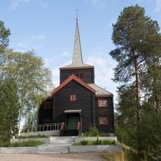
Svanvik Church
10.1 km
Bøkfjord Bridge
16.6 km
Elvenes Bridge
16.4 km
Rørbua
13.6 km
Grabben
14.2 km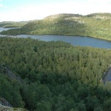
Harefossen
10.2 km
Skoltefoss
13.1 km
Памятник на братской могиле советских воинов
12.9 km
Mellomstryket
11.8 km
Holmfossen
6.6 km
Brattberget
5.3 km
Harefossen
10.2 km
Sagberget
5.1 km
Njoammelcaskas
10.2 km
SVANVIK
7.8 km
Seksognittihøgda
10 km
Стоянка «Куэтсъявр I»
14.1 km
Стоянка «Куэтсъявр II»
13.8 km
Стоянка «Куэтсъявр III»
14.2 km
Strand kirkegård
1.6 km
Langvasseid tjenestebolig
5.6 km
STRAND INTERNAT
1.6 km
Bjørklund gård
9.6 km
Russian Border
15.5 km
96-høyden
10.3 km
Memorial
16.3 km
Holmfossen
6.6 kmReviews
Visited this place? Tap the stars to rate it and share your experience / photos with the community! Try now! You can cancel it anytime.
Discover hidden gems everywhere you go!
From secret cafés to breathtaking viewpoints, skip the crowded tourist spots and find places that match your style. Our app makes it easy with voice search, smart filtering, route optimization, and insider tips from travelers worldwide. Download now for the complete mobile experience.

A unique approach to discovering new places❞
— Le Figaro
All the places worth exploring❞
— France Info
A tailor-made excursion in just a few clicks❞
— 20 Minutes