
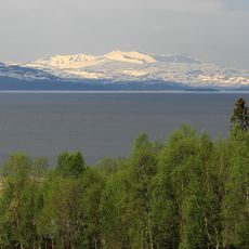
Klubben, Berggipfel in Norwegen
Location: Hemnes Municipality
Elevation above the sea: 780 m
GPS coordinates: 66.05327,13.88978
Latest update: May 16, 2025 03:45

Røssvatnet
31.5 km
Helgelandstrappa
41 km
Oksskolten
20.8 km
Rabothytta
12.7 km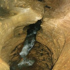
Grønligrotta
43.6 km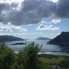
Ranfjord
24.4 km
Okstindbreen
13.8 km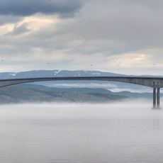
Sundøy Bridge
43.4 km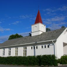
Sjona Church
33.3 km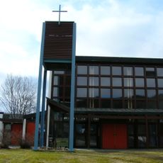
Selfors Church
32.8 km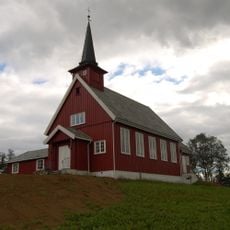
Bleikvassli Church
16.5 km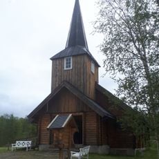
Varntresk Church
29.2 km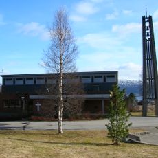
Ytteren Church
34.2 km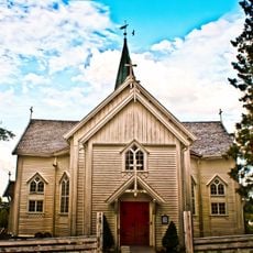
Leirfjord Church
43 km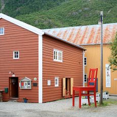
Helgeland Museum
39.9 km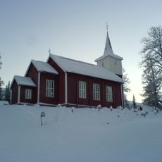
Drevja Church
29.3 km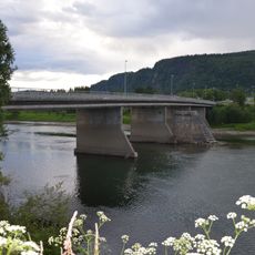
Selforsbrua
32.6 km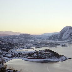
Vefsn folk high school
38.4 km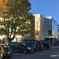
Rana bibliotek
30.9 km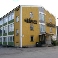
Studiested Kongsvegen
31 km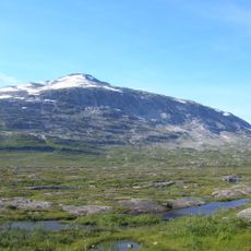
Høgtuva peak
43.4 km
Byparken i Mosjøen
39.7 km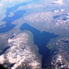
Gresvatnet
24.8 km
Vila kapell
46.4 km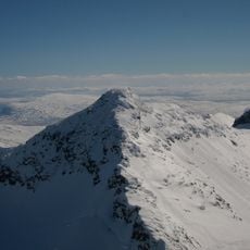
Okshornet
21.1 km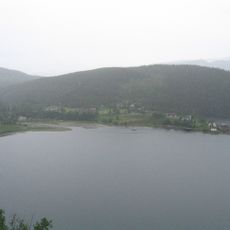
Elsfjorden
17.7 km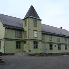
Tårnbygget (Mo i Rana)
30.8 km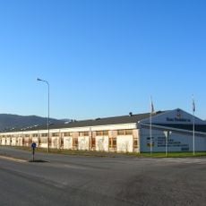
Rana Produkter AS
31.8 kmReviews
Visited this place? Tap the stars to rate it and share your experience / photos with the community! Try now! You can cancel it anytime.
Discover hidden gems everywhere you go!
From secret cafés to breathtaking viewpoints, skip the crowded tourist spots and find places that match your style. Our app makes it easy with voice search, smart filtering, route optimization, and insider tips from travelers worldwide. Download now for the complete mobile experience.

A unique approach to discovering new places❞
— Le Figaro
All the places worth exploring❞
— France Info
A tailor-made excursion in just a few clicks❞
— 20 Minutes