
Sandknuten, Berggipfel in Norwegen
Location: Kragerø
Elevation above the sea: 113 m
GPS coordinates: 58.83344,9.29427
Latest update: May 14, 2025 12:54

Jomfruland national park
17.7 km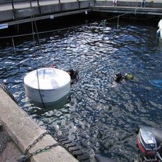
Risør Underwater Post Office
12.7 km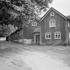
Egelands jernverk
11.1 km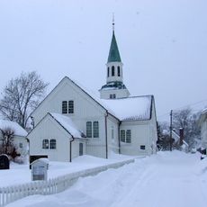
Risør Church
13 km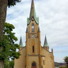
Kragerø Church
8.1 km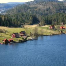
Søndeledfjorden
15.5 km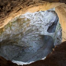
Rutilgruva
5.7 km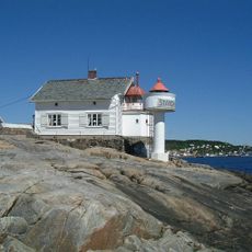
Stangholmen lighthouse
14.1 km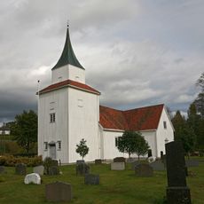
Sannidal Church
6.9 km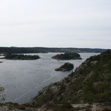
Sandnesfjorden
16.7 km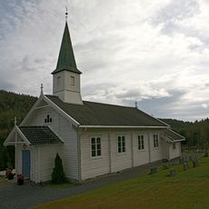
Kroken Church
15.5 km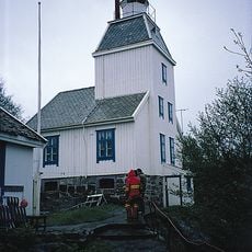
Stavseng Lighthouse
9.4 km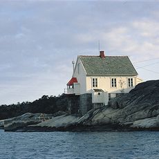
Strømtangen fyr
9.8 km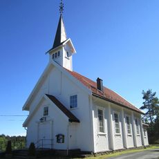
Støle Church
4.9 km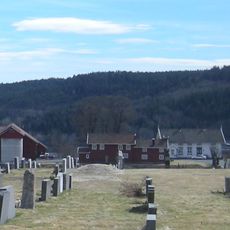
Gjerstad prestegård
16.5 km
Sørfjorden
15.9 km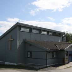
Helle Church
8.5 km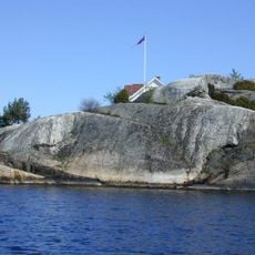
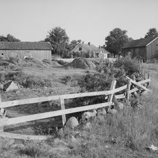
Bråtane
11.3 km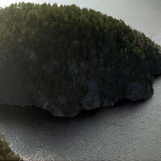
Brattøykollen
3.8 km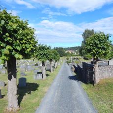
Kragerø kirkegård
6.7 km
VATIKANET
12.3 km
Kragerø tollbod - Tollboden
7.9 km
Lille Søndeled
14.2 km
BOSVIK SØNDRE
16.7 km
Moen
17.3 km
Åmland
16.9 km
FRØYNA
14.8 km
Vestmar folkehøgskole
17.1 kmReviews
Visited this place? Tap the stars to rate it and share your experience / photos with the community! Try now! You can cancel it anytime.
Discover hidden gems everywhere you go!
From secret cafés to breathtaking viewpoints, skip the crowded tourist spots and find places that match your style. Our app makes it easy with voice search, smart filtering, route optimization, and insider tips from travelers worldwide. Download now for the complete mobile experience.

A unique approach to discovering new places❞
— Le Figaro
All the places worth exploring❞
— France Info
A tailor-made excursion in just a few clicks❞
— 20 Minutes