
Mellafossen, Wasserfall in Norwegen
Location: Balsfjord Municipality
GPS coordinates: 69.26409,18.80227
Latest update: June 8, 2025 12:34

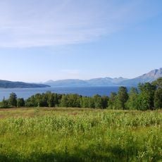
Malangen
22.5 km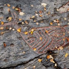
Rock carvings at Tennes
21.9 km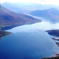
Balsfjorden
24 km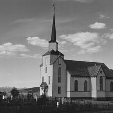
Lenvik Church
29.3 km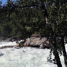
Målselvfossen
26.1 km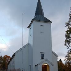
Malangen Church
17.1 km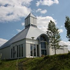
Sørreisa Church
30 km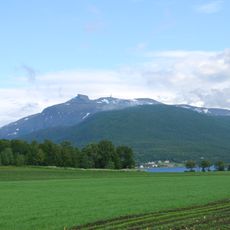
Kistefjellet
26.5 km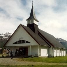
Nordkjosbotn Church
30.3 km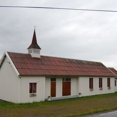
Mestervik Chapel
8.8 km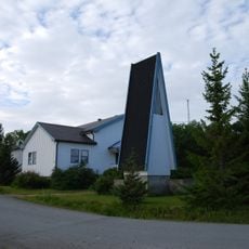
Gibostad Chapel
30.7 km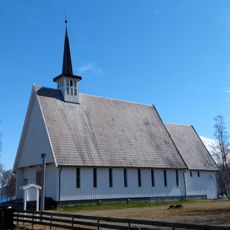
Storsteinnes Chapel
17.4 km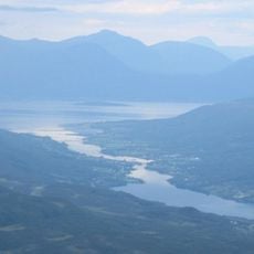
Rossfjorden (fyord sa Noruwega)
22.3 km
Reisfjorden
30.7 km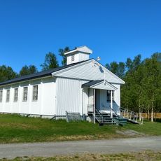
Bentsjord kapell
30.6 km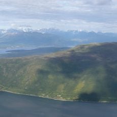
Målselvfjorden
14.3 km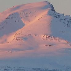
Blåtinden
25.6 km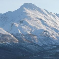
Rakeltinden
25.8 km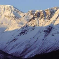
Halvorfjellet
31.3 km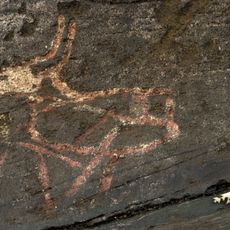
Tennes Bukkhammeren
21.5 km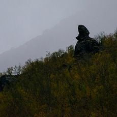
Jietanasdievval
31.6 km
Balsfjord kirkegård - Tennes
22 km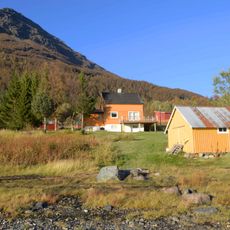
Storsteinnes
29.9 km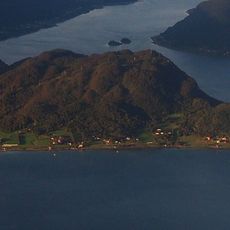
Ramfjordneset
30.7 km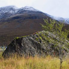
Sarasteinen
29.3 km
Lavangsdalen, Mellomdalen
29.4 km
Lavangsdalen
31.4 km
Jietanasdievval
31.6 kmReviews
Visited this place? Tap the stars to rate it and share your experience / photos with the community! Try now! You can cancel it anytime.
Discover hidden gems everywhere you go!
From secret cafés to breathtaking viewpoints, skip the crowded tourist spots and find places that match your style. Our app makes it easy with voice search, smart filtering, route optimization, and insider tips from travelers worldwide. Download now for the complete mobile experience.

A unique approach to discovering new places❞
— Le Figaro
All the places worth exploring❞
— France Info
A tailor-made excursion in just a few clicks❞
— 20 Minutes