Lågmyra, protected area in Norway
Location: Karlsøy Municipality
Inception: April 22, 1983
GPS coordinates: 70.01000,19.91200
Latest update: November 13, 2025 15:38
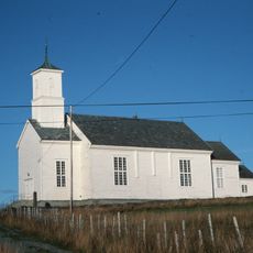
Karlsøy Church
1.1 km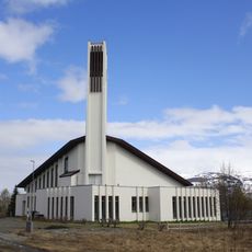
Ringvassøy Church
12.1 km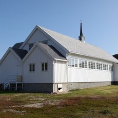
Sengskroken Church
18.4 km
Skipsfjord conservation area
12.8 km
Bogen
2 km
Fonnisen
9.4 km
Lyngstuva
14.5 km
Karlsøy prestegård
1.7 km
Ittugáddi
17.9 km
Storgalten (tumoy sa bukid sa Noruwega)
19 km
Storfossen
12 km
Storfossen
18.6 km
Likhuset på Karlsøy
379 m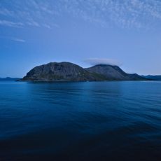
Nordklubben
14.7 km
Arnenga
12.3 km
Kirkestua - Kvitnesstua
1.2 km
HKB 5/480 Nordeidet
11.7 km
Prestholla/Mannholla
5.3 km
Reinøya 1-3
10.6 km
Grøtnes hydrofonsperre
18.7 km
HKB 8/971 Langsund
9.3 km
Korsnes
2.5 km
Kirkegårdslokalitet
1.2 km
Vetten
931 m
Ovnslokalitet
787 m
Green gold of Norway
16.8 km
Scenic viewpoint
18.4 km
Storfossen
18.6 kmReviews
Visited this place? Tap the stars to rate it and share your experience / photos with the community! Try now! You can cancel it anytime.
Discover hidden gems everywhere you go!
From secret cafés to breathtaking viewpoints, skip the crowded tourist spots and find places that match your style. Our app makes it easy with voice search, smart filtering, route optimization, and insider tips from travelers worldwide. Download now for the complete mobile experience.

A unique approach to discovering new places❞
— Le Figaro
All the places worth exploring❞
— France Info
A tailor-made excursion in just a few clicks❞
— 20 Minutes