Rønnegvammen
Location: Nore og Uvdal Municipality
GPS coordinates: 60.30033,8.55049
Latest update: June 13, 2024 15:10
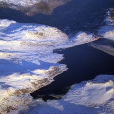
Sønstevatn
8.4 km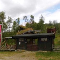
Dagali Museum
13.7 km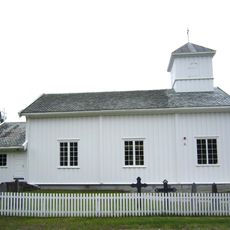
Dagali Church
13.7 km
Ismalfossen
13 km
Djupeskar
13.7 km
Synhovd (tumoy sa bukid)
7.9 km
Høghovda
8.1 km
Røysland øvre
9.4 km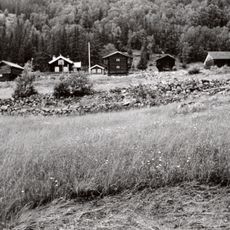
Galaker (gallåk)
9.9 km
Rauland nordre
10.1 km
Talåsen - Hagaset
10.4 km
Dusetind
14 km
Sedalsbrotet
10.8 km
Ramberg
13.6 km
Johovda
10.1 km
Dansarhaugen
10 km
Brøstrudlia
1.9 km
Kjemhus
13.6 km
Jønndalen - Veneli
10.7 km
Sandbu
12.5 km
Jønndalen - Krukevieren
11.7 km
Grånaset
11.3 km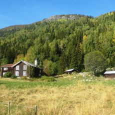
Tufto nordre
10.8 km
Jønndalen
8.6 km
Jønndalen - Stuguseter
7.4 km
Bakke øvre
14 km
Smådølselva - Fausko
14.6 km
Ismalfossen
13 kmReviews
Visited this place? Tap the stars to rate it and share your experience / photos with the community! Try now! You can cancel it anytime.
Discover hidden gems everywhere you go!
From secret cafés to breathtaking viewpoints, skip the crowded tourist spots and find places that match your style. Our app makes it easy with voice search, smart filtering, route optimization, and insider tips from travelers worldwide. Download now for the complete mobile experience.

A unique approach to discovering new places❞
— Le Figaro
All the places worth exploring❞
— France Info
A tailor-made excursion in just a few clicks❞
— 20 Minutes