Helland
Location: Heim Municipality
GPS coordinates: 63.39106,8.97578
Latest update: November 19, 2025 02:16
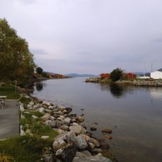
Hemnfjorden
9.5 km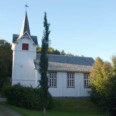
Heim Church
6.9 km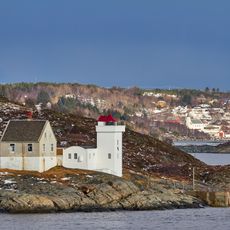
Terningen Lighthouse
11.9 km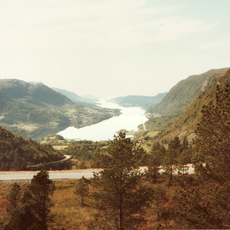
Årvågfjorden
9.4 km
Alstad
10.2 km
Kvernhuslifossen
8.7 km
Skardsfossen
5.4 km
Sagfossen
3.7 km
Lægdfossen
5.4 km
Haugafossen
11.6 km
Rennsjølia naturreservat
6.9 km
Røstøya
6.6 km
Soløya
7.5 km
Bjørkøya
6.1 km
Kvernhusfossen
12.3 km
Saraknubben
11.7 km
Henghammaren
10.8 km
Ørnknubben
11 km
Nygården
10.5 km
Heim
6.3 km
Scenic viewpoint
6.7 km
Scenic viewpoint
6 km
Scenic viewpoint
6 km
Kvernhuslifossen
8.7 km
Skardsfossen
5.5 km
Haugafossen
11.7 km
Kvernhusfossen
12.3 km
Lægdafossen
5.5 kmReviews
Visited this place? Tap the stars to rate it and share your experience / photos with the community! Try now! You can cancel it anytime.
Discover hidden gems everywhere you go!
From secret cafés to breathtaking viewpoints, skip the crowded tourist spots and find places that match your style. Our app makes it easy with voice search, smart filtering, route optimization, and insider tips from travelers worldwide. Download now for the complete mobile experience.

A unique approach to discovering new places❞
— Le Figaro
All the places worth exploring❞
— France Info
A tailor-made excursion in just a few clicks❞
— 20 Minutes