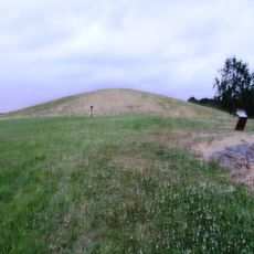
Lokalitet 17, Tungården, rock art in Halden, Østfold, Norway
Location: Halden Municipality
GPS coordinates: 59.15116,11.24086
Latest update: November 7, 2025 02:58
Jellhaugen
745 m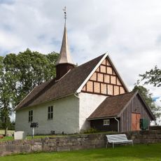
Ingedal Church
3.4 km
Hansemarkerkilen
3.4 km
Heltorp
2.4 km
Slang nordre
1.7 km
Bakke
2.8 km
Hjelmungen øvre
280 m
Nygård
1.2 km
Gjellestad vestre
1 km
Utengen
2.4 km
Bakke
2.9 km
Smia
3.3 km
Alkerød
544 m
Bakkehaugen VI
2.7 km
Bakke
2.7 km
Alkerød
593 m
Bakkehaugen II
2.8 km
Bø vestre
3.3 km
Bøåsen / Bøfjellet
1.9 km
Vik øvre
3 km
Hjelmungen Øvre II
311 m
Bakkehaugen V
2.8 km
Heltorp
2.4 km
Bakkehaugen I
2.7 km
Kudammen / Fjøsdammen
2.3 km
Bakke
3.1 km
Bakkehaugen III
2.7 km
Svinesundforbindelsen
3.1 kmReviews
Visited this place? Tap the stars to rate it and share your experience / photos with the community! Try now! You can cancel it anytime.
Discover hidden gems everywhere you go!
From secret cafés to breathtaking viewpoints, skip the crowded tourist spots and find places that match your style. Our app makes it easy with voice search, smart filtering, route optimization, and insider tips from travelers worldwide. Download now for the complete mobile experience.

A unique approach to discovering new places❞
— Le Figaro
All the places worth exploring❞
— France Info
A tailor-made excursion in just a few clicks❞
— 20 Minutes