Nes, rock art in Lødingen, Nordland, Norway
Location: Lødingen Municipality
GPS coordinates: 68.39486,15.89713
Latest update: October 27, 2025 19:55
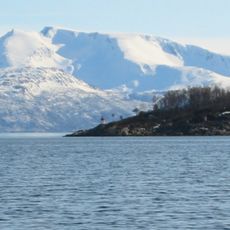
Ofotfjorden
24.3 km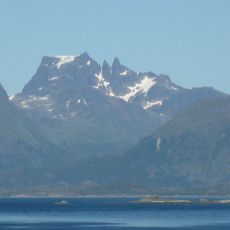
Møysalen National Park
21.2 km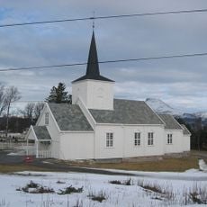
Korsnes Church
17.2 km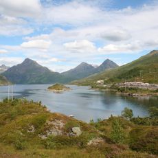
Øksfjord (Hinnøya)
24.5 km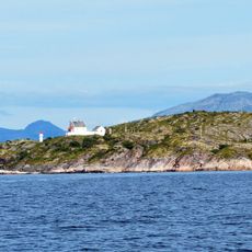
Barøy Lighthouse
8.8 km
Leiknesin kalliopiirrokset
18.4 km
Snytindhytta
23 km
Lødingen Lighthouse
13.4 km
Den hellige Dorotheas kapell
25.5 km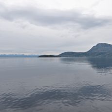
Bekkenesholmen
18.7 km
Fiskefjorden
18.8 km
Innerfjorden
17.2 km
Petroglyphs of Nes
584 m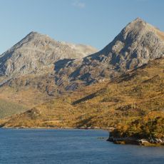
Botntinden
16 km
Valle (I+II) - Finnhågen
19.1 km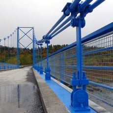
Kjærfjorden Bridge
12.1 km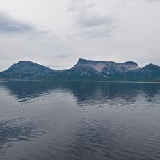
Breidskardtinden
18.6 km
Nes
175 m
Josarsaklubben (Nes)
3.3 km
Leiknes 1
18.5 km
Valle II - Finnhågen
19.1 km
Leiknes 2
18.5 km
Den Sorte Gryte
16.7 km
Tranøy galleri
25.4 km
Work of art
4.8 km
Scenic viewpoint
24.4 km
Scenic viewpoint
25.4 km
Scenic viewpoint
14.8 kmReviews
Visited this place? Tap the stars to rate it and share your experience / photos with the community! Try now! You can cancel it anytime.
Discover hidden gems everywhere you go!
From secret cafés to breathtaking viewpoints, skip the crowded tourist spots and find places that match your style. Our app makes it easy with voice search, smart filtering, route optimization, and insider tips from travelers worldwide. Download now for the complete mobile experience.

A unique approach to discovering new places❞
— Le Figaro
All the places worth exploring❞
— France Info
A tailor-made excursion in just a few clicks❞
— 20 Minutes