
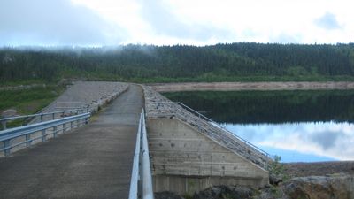
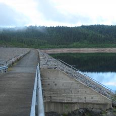
Dokkfløydammen, dam in Nordre Land, Noorwegen
Location: Nordre Land Municipality
GPS coordinates: 61.08514,9.97765
Latest update: March 9, 2025 00:39
Dokkfløydammen
0 m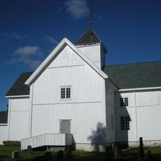
Vestre Gausdal Church
15.7 km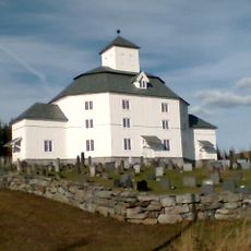
Åmot Church
10.5 km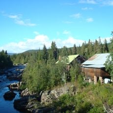
Grønvold sag og mølle
14.1 km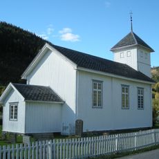
Aulstad Church
21 km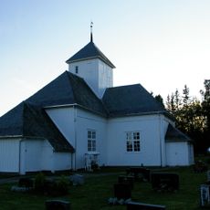
Lunde Church
17.4 km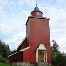
Kinn Church
18.4 km
Auggedalen
12.7 km
Holsfossen power station
19.1 km
Kjøljua power station
20.2 km
Bødalen Church
18.3 km
Synnfjorden
7.6 km
Vestre Gausdal prestegård
16 km
Flattum bru
11.2 km
Røssjøen
19.2 km
Gamle Grønvold bru
14.2 km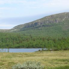
Storlægeret
14 km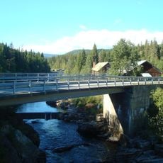
Grønvoll bridge
14.2 km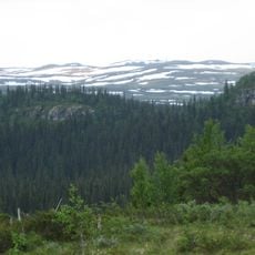
Skardberga
11.7 km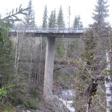
Kjøljua bru
18.5 km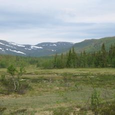
Oppsjømyra
13.4 km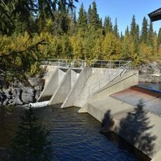
Dam i Synna
2.5 km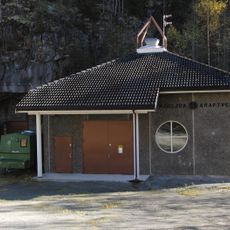
Sagbakkdammen, Kjøljua
18.4 km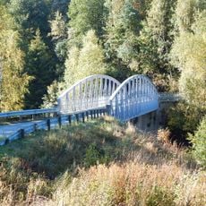
Arlien bridge
20.7 km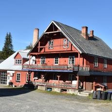
Torpa Ysteri
14 km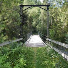
Holsbrua
19 km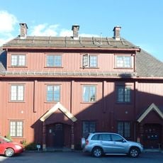
Gausdal Ysteri
20.6 km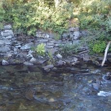
Voldsmølla
20.7 kmReviews
Visited this place? Tap the stars to rate it and share your experience / photos with the community! Try now! You can cancel it anytime.
Discover hidden gems everywhere you go!
From secret cafés to breathtaking viewpoints, skip the crowded tourist spots and find places that match your style. Our app makes it easy with voice search, smart filtering, route optimization, and insider tips from travelers worldwide. Download now for the complete mobile experience.

A unique approach to discovering new places❞
— Le Figaro
All the places worth exploring❞
— France Info
A tailor-made excursion in just a few clicks❞
— 20 Minutes