Garveriet på Åmot
Location: Nordre Land Municipality
GPS coordinates: 60.99030,10.04583
Latest update: June 13, 2024 15:18
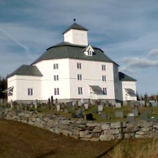
Åmot Church
710 m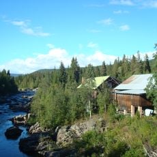
Grønvold sag og mølle
3.2 km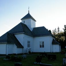
Lunde Church
6.5 km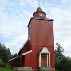
Kinn Church
7.5 km
Kjøljua power station
9.1 km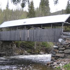
Flattum bru
87 m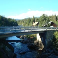
Grønvoll bridge
3.3 km
Flåmyra
7.5 km
Oddelia
4 km
Bjørnhaugen
8.2 km
Fellefossen
5.6 km
Ringsrud Sagdam
9.1 km
Nylsfjellet
7.1 km
Høgfossen
9.5 km
Sagfossen
9 km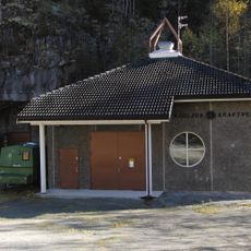
Sagbakkdammen, Kjøljua
7.5 km
Nordengsberga
3.2 km
Bjønnhaugen
8.9 km
Torpa Ysteri
3.2 km
Kalkovn
7.5 km
Søndre Lunde
5.5 km
Kirkegarden
3.5 km
Presterud
7.5 km
Ringsrud kvern og sag
9.3 km
Kinnsjordet
8.2 km
Kvernstuen
1.2 km
Hogne kvern og sag
9.4 km
Bratlien søre
3.7 kmReviews
Visited this place? Tap the stars to rate it and share your experience / photos with the community! Try now! You can cancel it anytime.
Discover hidden gems everywhere you go!
From secret cafés to breathtaking viewpoints, skip the crowded tourist spots and find places that match your style. Our app makes it easy with voice search, smart filtering, route optimization, and insider tips from travelers worldwide. Download now for the complete mobile experience.

A unique approach to discovering new places❞
— Le Figaro
All the places worth exploring❞
— France Info
A tailor-made excursion in just a few clicks❞
— 20 Minutes