
Bulinuten, Berggipfel in Norwegen
Location: Tokke Municipality
Elevation above the sea: 853 m
GPS coordinates: 59.53879,8.29611
Latest update: April 11, 2025 06:42

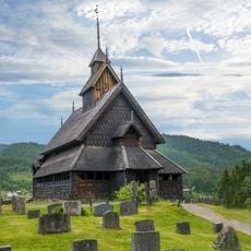
Eidsborg Stave Church
17.6 km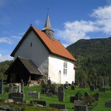
Seljord Church
15.8 km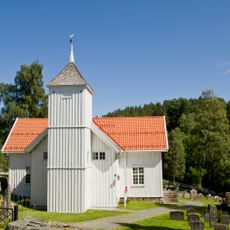
Brunkeberg Church
15.7 km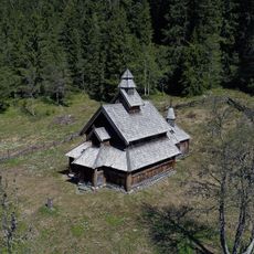
Svartdal kapell
15.4 km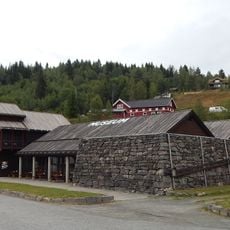
Norwegian Ski Museum Morgedal
9.7 km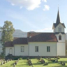
Lårdal Church
14.5 km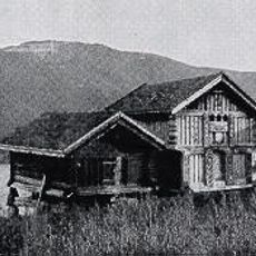
Lognvik Søre
16.3 km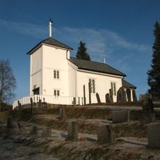
Øyfjell kyrkje
8 km
Category:Seljord prestegård
14.1 km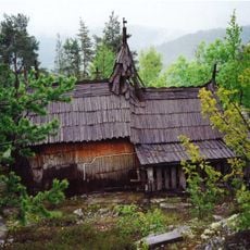
Endrekyrkja
15.4 km
Nutheim Kapel
14.9 km
Øyfjell bygdemuseum
7 km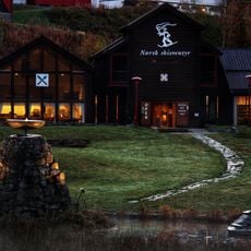
Norsk Skieventyr
9.7 km
RINDE
13.9 km
MOEN NEDRE
9.9 km
KLEIVI
11.7 km
SANDÅK (SANDAAK, SANDOK)
17.2 km
Mostøylbakken bru
5.2 km
DONSTAD
9.1 km
Breiland
7.7 km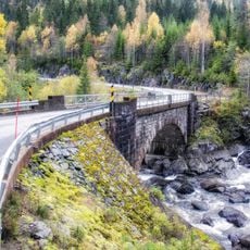
Bjørnflatin bru
12.4 km
HYLLAND NORDRE
17.1 km
Vest-Telemark Museum Eidsborg
17.6 km
DYRLAND SØNDRE (SUDIGARD)
11.2 km
GROVEN NEDRE
12.7 km
KULTAN
12.5 km
Bakken
7.2 km
MIDTBØEN (MIDBØEN, MIDTBØEN NEDRE)
12.6 kmReviews
Visited this place? Tap the stars to rate it and share your experience / photos with the community! Try now! You can cancel it anytime.
Discover hidden gems everywhere you go!
From secret cafés to breathtaking viewpoints, skip the crowded tourist spots and find places that match your style. Our app makes it easy with voice search, smart filtering, route optimization, and insider tips from travelers worldwide. Download now for the complete mobile experience.

A unique approach to discovering new places❞
— Le Figaro
All the places worth exploring❞
— France Info
A tailor-made excursion in just a few clicks❞
— 20 Minutes