
Nåpånuten, Berggipfel in Norwegen
Location: Tinn Municipality
Elevation above the sea: 778 m
GPS coordinates: 59.92501,8.94125
Latest update: March 3, 2025 00:48

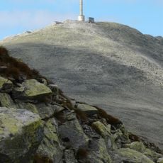
Gaustatoppen
18.1 km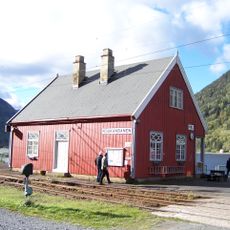
Rjukan Line
12.8 km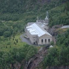
Rjukan–Notodden Industrial Heritage Site
20.1 km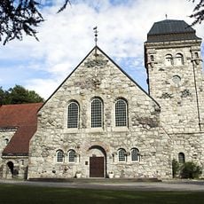
Rjukan Church
19.3 km
Atrå Church
13.6 km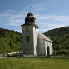
Hovin Church
9.2 km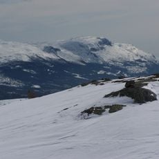
Bletoppen
17.6 km
Atrå stavkirke
13.6 km
Eriksbu
14.6 km
Veggli stave church
17.4 km
Rjukan stadion
19.4 km
Skirva fjellkirke
15.6 km
Mykstufoss
17.9 km
Glupen
14.7 km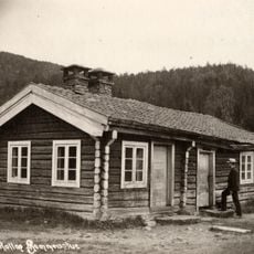
Helle nordre
18.5 km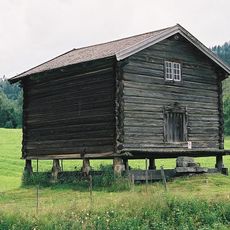
Mykstu søre (veslemykstu) - møkstu
17.3 km
RJUKANHUSET FOLKETS HUS
20.3 km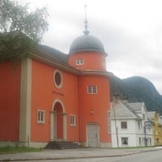
BAPTISTKIRKEN, RJUKAN
19.7 km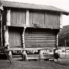
Fekjan søndre (sør-fekjan/fetjan søndre)
20.1 km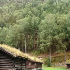
BRYNJULFSRUD - ØVERLAND M/TVEITO, Tinn museum
17 km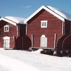
Gladheim (Søndre Glaim)
16.3 km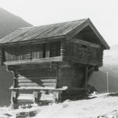
GAUSTAVEIEN 78 (TIDL. MILAND SØRE)
13.2 km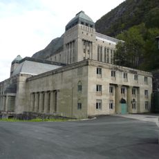
SÅHEIM KRAFTSTASJON
20.2 km
D/F Ammonia
7.2 km
Mykstu nordre (helgjsmykstu) - møkstu
17.4 km
SKÅRBERG NORDRE
19.8 km
Storemoen
20.3 km
Tinn prestegård
13.8 kmReviews
Visited this place? Tap the stars to rate it and share your experience / photos with the community! Try now! You can cancel it anytime.
Discover hidden gems everywhere you go!
From secret cafés to breathtaking viewpoints, skip the crowded tourist spots and find places that match your style. Our app makes it easy with voice search, smart filtering, route optimization, and insider tips from travelers worldwide. Download now for the complete mobile experience.

A unique approach to discovering new places❞
— Le Figaro
All the places worth exploring❞
— France Info
A tailor-made excursion in just a few clicks❞
— 20 Minutes