
Świerklany, village in Silesian Voivodeship, Poland
Location: Gmina Świerklany
Inception: January 1, 2007
GPS coordinates: 50.02250,18.58310
Latest update: March 3, 2025 02:58
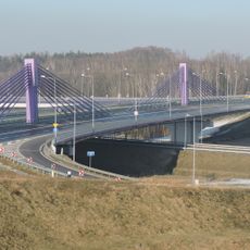
Freeway bridge in Mszana
6 km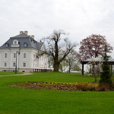
Palace complex in Borynia
4.9 km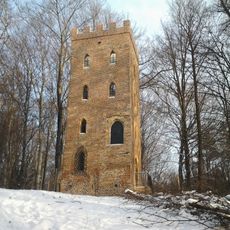
Barbakan in Wodzisław Śląski
7.3 km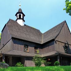
Corpus Christi church in Jankowice
3.9 km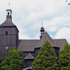
Saint Lawrence church in Rybnik
7.6 km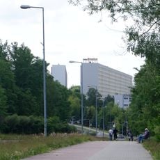
Osiedle Staszica
7.6 km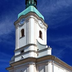
Saint Catherine of Alexandria and Providence of God church in Jastrzębie-Zdrój
7.2 km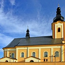
All Saints church in Jastrzębie-Zdrój
4.9 km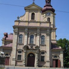
Sacred Heart Church, Boguszowice
4.6 km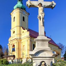
Saint Michael Archangel church in Krzyżowice
7.1 km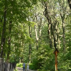
Park Leśny im. Powstańców Śląskich w Radlinie
6.4 km
Hala widowiskowo-sportowa w Rybniku-Boguszowicach
3 km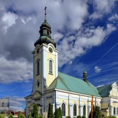
Saint Thérèse of Lisieux church in Rybnik
4.9 km
Church of St. George in Mszana
7.4 km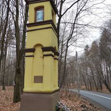
Shrine Grodzisko
7.1 km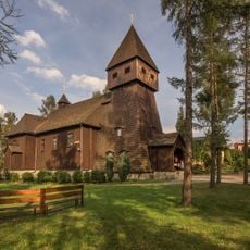
Saint Barbara and Saint Joseph church in Jastrzębie-Zdrój
6.4 km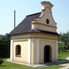
Chapel in Szeroka
4.9 km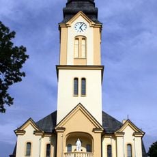
Saint Anne church in Świerklany
486 m
Palace in Borynia
4.9 km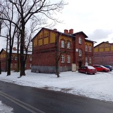
Workers housing estate complex in Rybnik
7.7 km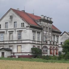
111 Wodzisławska Street in Żory
5.5 km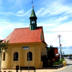
Chapel in Żory-Rowień
7.1 km
Fortified tower in Wodzisław Śląski
7.3 km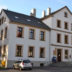
Old school in Połomia
4.2 km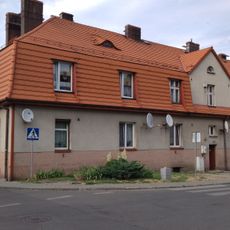
9 Barbary Street in Rybnik
7.8 km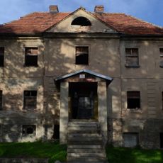
Old rectory in Połomia
4.2 km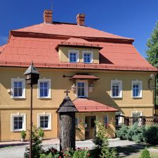
Rectory in Krzyżowice
7 km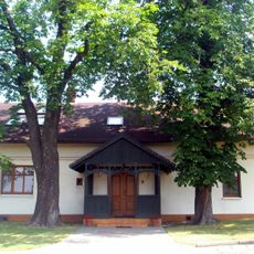
Dwelling house in Świerklany
1.5 kmVisited this place? Tap the stars to rate it and share your experience / photos with the community! Try now! You can cancel it anytime.
Discover hidden gems everywhere you go!
From secret cafés to breathtaking viewpoints, skip the crowded tourist spots and find places that match your style. Our app makes it easy with voice search, smart filtering, route optimization, and insider tips from travelers worldwide. Download now for the complete mobile experience.

A unique approach to discovering new places❞
— Le Figaro
All the places worth exploring❞
— France Info
A tailor-made excursion in just a few clicks❞
— 20 Minutes