
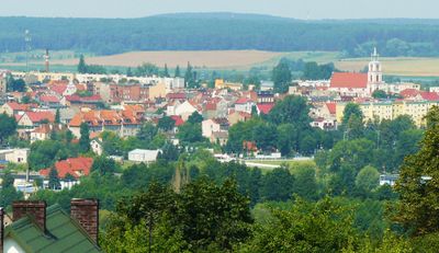
Założenie urbanistyczne
Location: Chodzież
Inception: 1434
GPS coordinates: 52.99231,16.91543
Latest update: March 12, 2025 04:46
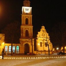
Saint Florian church in Chodzież
65 m
Synagoge
231 m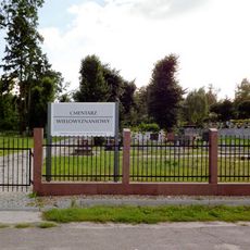
Cmentarz ewangelicki w Chodzieży
1.1 km
12 Kościuszki Street in Chodzież
193 m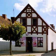
44 Wojska Polskiego Street in Chodzież
440 m
10 Kościuszki Street in Chodzież
169 m
39 Wojska Polskiego Street in Chodzież
441 m
26 Kościuszki Street in Chodzież
281 m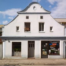
16 Kościuszki Street in Chodzież
218 m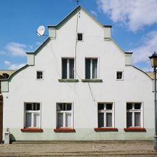
22 Kościuszki Street in Chodzież
257 m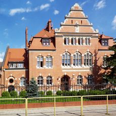
Sąd Obwodowy, ob. Rejonowy
404 m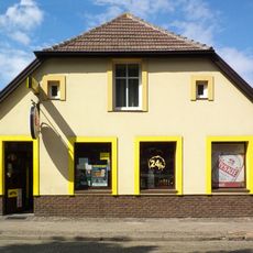
8 Kościuszki Street in Chodzież
154 m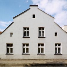
18 Kościuszki Street in Chodzież
232 m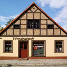
20 Kościuszki Street in Chodzież
244 m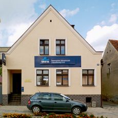
49 Wojska Polskiego Street in Chodzież
505 m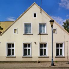
24 Kościuszki Street in Chodzież
268 m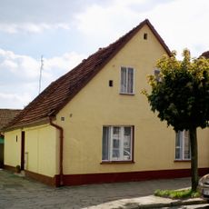
48 Wojska Polskiego Street in Chodzież
458 m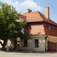
28 Kościuszki Street in Chodzież
347 m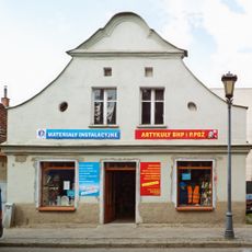
14 Kościuszki Street in Chodzież
206 m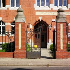
Ogrodzenie z bramami
380 m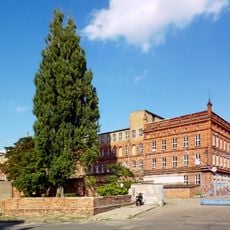
Budynek fabryki porcelany w Chodzieży
474 m
3 Mickiewicza Street in Chodzież
250 m
30 Wojska Polskiego Street in Chodzież
328 m
33 Wojska Polskiego Street in Chodzież
412 m
Dom, XVIII/XIX
433 m
47 Wojska Polskiego Street in Chodzież
492 m
40 Wojska Polskiego Street in Chodzież
419 m
41 Wojska Polskiego Street in Chodzież
456 mVisited this place? Tap the stars to rate it and share your experience / photos with the community! Try now! You can cancel it anytime.
Discover hidden gems everywhere you go!
From secret cafés to breathtaking viewpoints, skip the crowded tourist spots and find places that match your style. Our app makes it easy with voice search, smart filtering, route optimization, and insider tips from travelers worldwide. Download now for the complete mobile experience.

A unique approach to discovering new places❞
— Le Figaro
All the places worth exploring❞
— France Info
A tailor-made excursion in just a few clicks❞
— 20 Minutes