
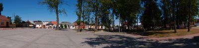
Układ przestrzenny
Location: Pierzchnica
Inception: 14 century
GPS coordinates: 50.69722,20.75444
Latest update: March 5, 2025 00:34
Świętokrzyskie Voivodeship
5.9 km
Synagogue in Chmielnik
9.1 km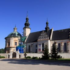
Sanctuary of Our Lady of Loreto in Piotrkowice
7.1 km
Saint Margaret church in Pierzchnica
162 m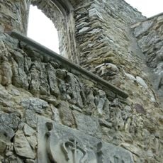
The cemetery church of St. Stanislaus Bishop with its surroundings - the ground around the church, the mid-16th century
7.4 km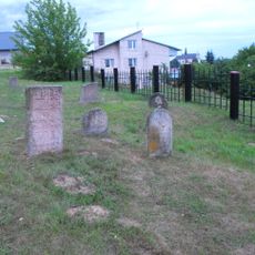
Jewish cemetery in Chmielnik
8.8 km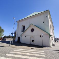
Świętokrzyski Sztetl
9.1 km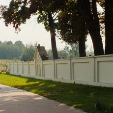
Ogrodzenie cmentarza parafialnego
216 m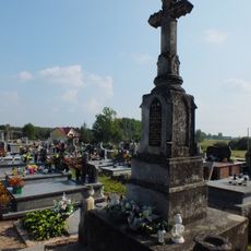
Parish cemetery in Pierzchnica, Świętokrzyskie Voivodeship
215 m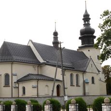
Saint Nicholas church in Lisów
6.2 km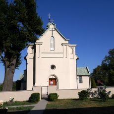
Kościół św. Wawrzyńca w Drugni
7.8 km
8 Wolności Street in Chmielnik
9.2 km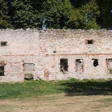
Stables in Maleszowa
3.1 km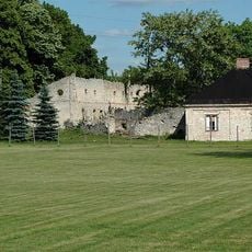
Manor complex in Maleszowa
3.1 km
Manor house ruins in Szczecno
3.8 km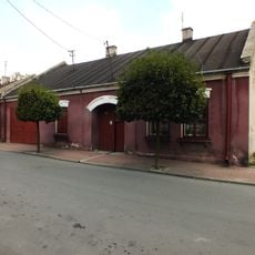
12, 13 Stycznia Street in Chmielnik
9.1 km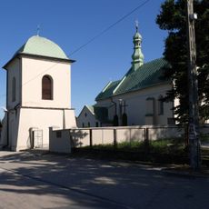
Zespół kościoła św. Wawrzyńca w Drugni
7.8 km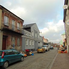
Sienkiewicza 3
9.1 km
8 Kościuszki Square in Chmielnik
9.1 km
Watermill in Słopiec
9.3 km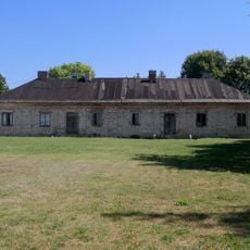
Manor house in Maleszowa
3.1 km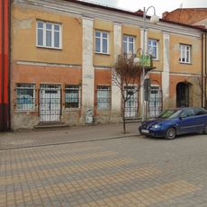
Rynek 16
9.2 km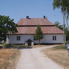
Spichrz (lamus)
3.3 km
Pozostałości zamku na wyspie
3.2 km
Rynek 9
9.3 km
Plebania, Kościelna 16 w Pierzchnicy
132 m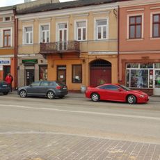
Rynek 4
9.3 km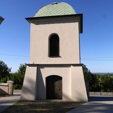
Dzwonnica w Drugni
7.8 kmVisited this place? Tap the stars to rate it and share your experience / photos with the community! Try now! You can cancel it anytime.
Discover hidden gems everywhere you go!
From secret cafés to breathtaking viewpoints, skip the crowded tourist spots and find places that match your style. Our app makes it easy with voice search, smart filtering, route optimization, and insider tips from travelers worldwide. Download now for the complete mobile experience.

A unique approach to discovering new places❞
— Le Figaro
All the places worth exploring❞
— France Info
A tailor-made excursion in just a few clicks❞
— 20 Minutes