
Zespół zabudowy osady fabrycznej
Location: Żyrardów
Inception: 1829
GPS coordinates: 52.05667,20.43944
Latest update: March 4, 2025 17:39
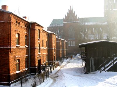

Our Lady of Consolation church in Żyrardów
83 m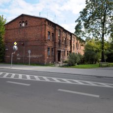
Dom
125 m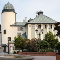
House of the People
65 m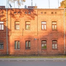
3 Wyszyńskiego Street in Żyrardów
150 m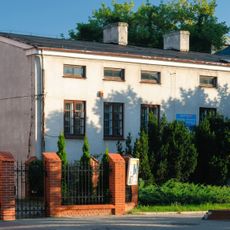
Pl. Jana Pawła II 2 (d. pl. Wolności)
78 m
1 Maja 50
162 m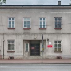
1 Maja 60
145 m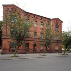
Narutowicza 24 B
136 m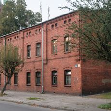
28 Narutowicza Street in Żyrardów
101 m
Narutowicza 32
72 m
Dom
99 m
Dom
128 m
30 Narutowicza Street in Żyrardów
70 m
Pl. Jana Pawła II 1 (d. pl. Wolności)
109 m
Dom
137 m
1 Maja 58
108 m
4 Jana Pawła II Square in Żyrardów
44 m
5 Jana Pawła II Square in Żyrardów
40 m
6 Jana Pawła II Square in Żyrardów
94 m
Pl. Jana Pawła II 7 / 1-go Maja 54 (d. pl. Wolności 7)
112 m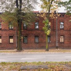
33 Limanowskiego Street in Żyrardów
152 m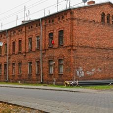
4 Wyszyńskiego Street in Żyrardów
170 m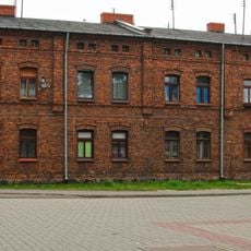
6 Wyszyńskiego Street in Żyrardów
155 m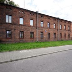
7 Wyszyńskiego Street in Żyrardów
133 m
8 Wyszyńskiego Street in Żyrardów
156 m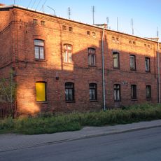
9 Wyszyńskiego Street in Żyrardów
149 m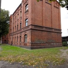
Ściegiennego 1/3
119 m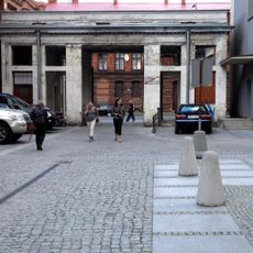
Brama wjazdowa
148 mReviews
Visited this place? Tap the stars to rate it and share your experience / photos with the community! Try now! You can cancel it anytime.
Discover hidden gems everywhere you go!
From secret cafés to breathtaking viewpoints, skip the crowded tourist spots and find places that match your style. Our app makes it easy with voice search, smart filtering, route optimization, and insider tips from travelers worldwide. Download now for the complete mobile experience.

A unique approach to discovering new places❞
— Le Figaro
All the places worth exploring❞
— France Info
A tailor-made excursion in just a few clicks❞
— 20 Minutes