Älvdalen 632, fäbod i Dalarna
Location: Älvdalen Municipality
GPS coordinates: 61.38162,13.76210
Latest update: November 18, 2025 03:33

Åsens kapell, Dalarna
12.4 km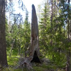
Långsjöblik
11.5 km
Gummas
14.2 km
Krokfljot
12.7 km
Prästskogsstugan
14.8 km
Svartgessi
13.2 km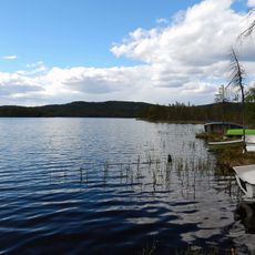
Rensjön
9.7 km
Korvhäden
13.6 km
Kringelfljot
14.3 km
Räbrunnåsen
14.9 km
Dråjbäck
12.6 km
Borgforsen
1.5 km
Älvdalen 784
14.7 km
Älvdalen 780
14.9 km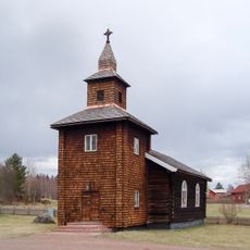
Åsens kapell
12.4 km
Mattisbodarna
3.4 km
Älvdalen 783
14.9 km
Älvdalen 779
14.9 km
Älvdalen 781
14.9 km
Älvdalen 782
14.9 km
Brindberg
10.4 km
Stopsbodarna
9.5 km
Risberg
12.9 km
Överby
6.5 km
Gumpersbodarna
13.2 km
Myåbodar (Gamtbodåsen)
14.6 km
Stops fall
9.5 km
Stops
9.5 kmReviews
Visited this place? Tap the stars to rate it and share your experience / photos with the community! Try now! You can cancel it anytime.
Discover hidden gems everywhere you go!
From secret cafés to breathtaking viewpoints, skip the crowded tourist spots and find places that match your style. Our app makes it easy with voice search, smart filtering, route optimization, and insider tips from travelers worldwide. Download now for the complete mobile experience.

A unique approach to discovering new places❞
— Le Figaro
All the places worth exploring❞
— France Info
A tailor-made excursion in just a few clicks❞
— 20 Minutes