Gagnef 18:1, hällristning i Dalarna
Location: Gagnef Municipality
GPS coordinates: 60.54249,14.93685
Latest update: October 27, 2025 02:20
Gagnef Municipality
5.9 km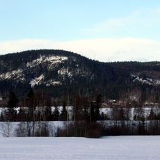
Djurmoklack
14 km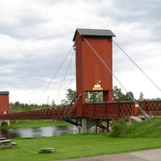
Hängbron, Dala Floda
8.4 km
Gagnefs kyrka
7.9 km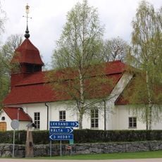
Djura Church
8.5 km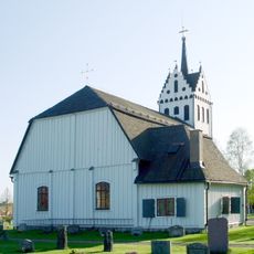
Mockfjärds kyrka
5.1 km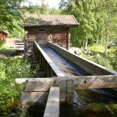
Kvarna
10.1 km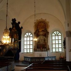
Floda Church
8.5 km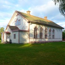
Djurås
11.6 km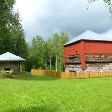
Tanså hytta
7.1 km
Björbo Lillkyrka
15.1 km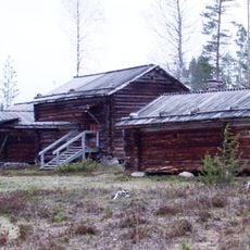
Gagnefs minnesstuga
9.2 km
Gagnefs minnesstuga
9.2 km
Gagnef 53:1
13.5 km
Leksand 235:1
14.2 km
Gagnef 52:1
13.6 km
Trollkyrkan
8.1 km
Floda gammelgård
8.1 km
Trollgruvan
13.3 km
Hällristning
8.7 km
Kvarnstenen
9 km
Vackra Carin
8.5 km
Scenic viewpoint
13.6 km
Tower, Observation tower, scenic viewpoint
10.8 km
Björkberget
9.4 km
Scenic viewpoint
8 km
Scenic viewpoint
8 km
Skebergsklitten
12.2 kmReviews
Visited this place? Tap the stars to rate it and share your experience / photos with the community! Try now! You can cancel it anytime.
Discover hidden gems everywhere you go!
From secret cafés to breathtaking viewpoints, skip the crowded tourist spots and find places that match your style. Our app makes it easy with voice search, smart filtering, route optimization, and insider tips from travelers worldwide. Download now for the complete mobile experience.

A unique approach to discovering new places❞
— Le Figaro
All the places worth exploring❞
— France Info
A tailor-made excursion in just a few clicks❞
— 20 Minutes