Njutånger 74:1, röse i Hälsingland
Location: Hudiksvall Municipality
GPS coordinates: 61.63302,17.13510
Latest update: October 28, 2025 18:54
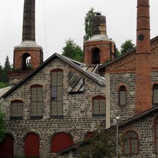
Iggesunds Bruk
3.4 km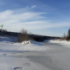
Nianån
4.8 km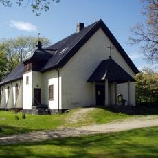
Iggesunds kyrka
3.2 km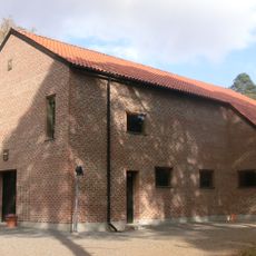
Sankta Maria kapell, Iggesund
3.2 km
Folkets hus
3.2 km
Idenor 38:1
4.5 km
Njutånger 42:1
3.6 km
Njutånger 45:3
4.2 km
Njutånger 44:1
4 km
Idenor 42:1
4.8 km
Njutånger 45:1
4.2 km
Njutånger 31:1
2.1 km
Njutånger 32:3
2.7 km
Njutånger 72:1
2.9 km
Njutånger 55:1
2.7 km
Njutånger 29:2
2.3 km
Njutånger 43:1
3.7 km
Idenor 5:2
2.9 km
Njutånger 29:1
2.3 km
Njutånger 44:3
4 km
Njutånger 30:1
2.2 km
Njutånger 43:2
3.7 km
Njutånger 46:1
2.1 km
Njutånger 48:1
5.2 km
Njutånger 51:1
4.6 km
Njutånger 34:1
2.6 km
Njutånger 33:1
2.6 km
Idenor 5:1
2.9 kmReviews
Visited this place? Tap the stars to rate it and share your experience / photos with the community! Try now! You can cancel it anytime.
Discover hidden gems everywhere you go!
From secret cafés to breathtaking viewpoints, skip the crowded tourist spots and find places that match your style. Our app makes it easy with voice search, smart filtering, route optimization, and insider tips from travelers worldwide. Download now for the complete mobile experience.

A unique approach to discovering new places❞
— Le Figaro
All the places worth exploring❞
— France Info
A tailor-made excursion in just a few clicks❞
— 20 Minutes