Torup 33:1, hällristning i Halland
Location: Hylte Municipality
GPS coordinates: 56.97284,13.16903
Latest update: November 5, 2025 13:16
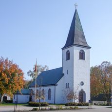
Hyltebruk Church
5.3 km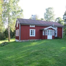
Lintalund
367 m
Rydöbruks missionshus
2.5 km
Torup 7:2
2.7 km
Torup 15:2
3.1 km
Torup 7:3
2.7 km
Torup 8:1
3.9 km
Torup 154:1
2.7 km
Solhögen
5.1 km
Torup 47:1
3.2 km
Sandåkra kyrkogård
2.5 km
Torup 185:1
3.9 km
Kyrkröret
4 km
Torup 185:2
3.9 km
Torup 7:1
2.6 km
Hinnakullsstugan
5.1 km
Torup 10:1
1.9 km
Torup 9:1
3.7 km
Torup 15:1
3.1 km
Torup 11:1
3.6 km
Torup 16:1
3 km
Torup 23:1
4.3 km
Torup 42:1
3.8 km
Färgaryd 228:3
2.6 km
Färgaryd 228:1
2.6 km
Kambo skans
3.5 km
Rydö bruksmuseum
2.2 km
Scenic viewpoint
5.1 kmReviews
Visited this place? Tap the stars to rate it and share your experience / photos with the community! Try now! You can cancel it anytime.
Discover hidden gems everywhere you go!
From secret cafés to breathtaking viewpoints, skip the crowded tourist spots and find places that match your style. Our app makes it easy with voice search, smart filtering, route optimization, and insider tips from travelers worldwide. Download now for the complete mobile experience.

A unique approach to discovering new places❞
— Le Figaro
All the places worth exploring❞
— France Info
A tailor-made excursion in just a few clicks❞
— 20 Minutes