
Släp 42:1, stone setting in Kungsbacka Municipality, Halland County, Sweden
Location: Kungsbacka Municipality
GPS coordinates: 57.52922,11.95462
Latest update: May 13, 2025 12:56

Scandinavian Masters
7.2 km
Säröbanan
2.6 km
Sisjön
10.7 km
Vallda Sandö
5.5 km
Villa Dalfrid
7.2 km
Särö Västerskog
3.2 km
Vallda säteri
6.1 km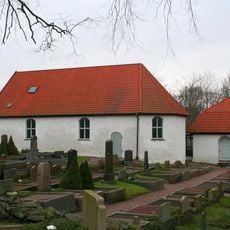
Kållered Church
10.5 km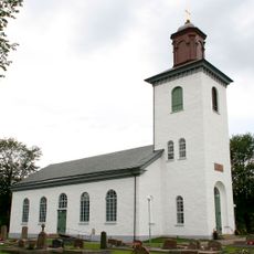
Släps kyrka
2.3 km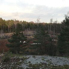
Sandsjöbacka naturreservat, Västra Götalands län
7.4 km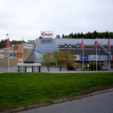
EkenCenter
9.8 km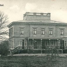
Billdals herrgård
6 km
Vallda metodistkapell
8.1 km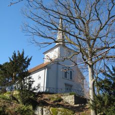
Särö Church
2.8 km
Särö säteri
2.7 km
Kullavikskyrkan
2.1 km
Stora Amundö och Billdals skärgårds naturreservat
6.2 km
Sandsjöbacka naturreservat, Hallands län
3.8 km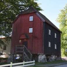
Stolpboden, Särö
2.8 km
Hördalen
4 km
Wea kaptensgård
2 km
Apelgårdens kyrka
9.8 km
Tithing Fjäre
8.7 km
Stora Amundö
7.4 km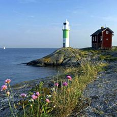
Valö lighthouse
9.4 km
Lindome 62:2
10.7 km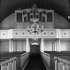
Tölö kyrkas orgel by Jonas Wistenius
8.6 km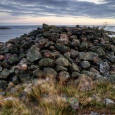
Västra Frölunda 1:2
9.9 kmReviews
Visited this place? Tap the stars to rate it and share your experience / photos with the community! Try now! You can cancel it anytime.
Discover hidden gems everywhere you go!
From secret cafés to breathtaking viewpoints, skip the crowded tourist spots and find places that match your style. Our app makes it easy with voice search, smart filtering, route optimization, and insider tips from travelers worldwide. Download now for the complete mobile experience.

A unique approach to discovering new places❞
— Le Figaro
All the places worth exploring❞
— France Info
A tailor-made excursion in just a few clicks❞
— 20 Minutes