Nykyrka 20:1, stenkrets i Västergötland
Location: Mullsjö Municipality
GPS coordinates: 57.90593,13.83095
Latest update: November 22, 2025 17:14
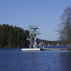
Mullsjön
3 km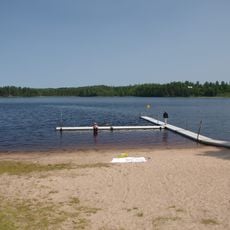
Stråken
3.2 km
Mullsjö Pentecostal Church
2.9 km
Ryfors GK
392 m
Brängen
4.6 km
Ryfors
586 m
Svartebäcken 1:1
4.4 km
Bjurbäck 19:1
4.1 km
Bjurbäck 7:1
1.5 km
Habo 34:1
4.5 km
Bjurbäck 16:1
3.1 km
Habo 159:1
3.1 km
Ryfors bruk
312 m
Sandhem 200:1
4.1 km
Habo 159:3
3.1 km
Habo 34:3
4.5 km
Nykyrka 13:2
3.3 km
Nykyrka 19:1
831 m
Habo 35:1
4.5 km
Habo 159:4
3.2 km
Nykyrka 13:1
3.3 km
Nykyrka 37
3.3 km
Bjurbäck 84:1
1.5 km
Kullen
3.1 km
Habo 34:2
4.5 km
Nykyrka 11:1
3.9 km
Habo 159:2
3.1 km
Bjurbäck 10:1
3.4 kmReviews
Visited this place? Tap the stars to rate it and share your experience / photos with the community! Try now! You can cancel it anytime.
Discover hidden gems everywhere you go!
From secret cafés to breathtaking viewpoints, skip the crowded tourist spots and find places that match your style. Our app makes it easy with voice search, smart filtering, route optimization, and insider tips from travelers worldwide. Download now for the complete mobile experience.

A unique approach to discovering new places❞
— Le Figaro
All the places worth exploring❞
— France Info
A tailor-made excursion in just a few clicks❞
— 20 Minutes