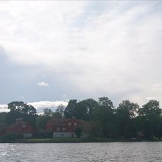
Kölingared 7:1, stone setting in Ulricehamn Municipality, Västra Götaland County, Sweden
Location: Ulricehamn Municipality
GPS coordinates: 57.89464,13.70489
Latest update: November 22, 2025 13:54
Näs gård
5.7 km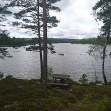
Brängen
3.2 km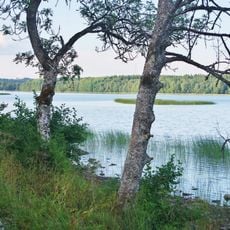
Årås
3.5 km
Liared 48:1
4.9 km
Klockhöljan
6 km
Bjurbäck 19:1
5.5 km
Kölingared 89:2
2.4 km
Kölingared 75:1
3.1 km
Bjurbäck 16:1
5.7 km
Kölingared 12:1
4.9 km
Fivlered 13:1
5.2 km
Sandhem 92:1
5.3 km
Kölingared 6:1
165 m
Kölingared 10:1
390 m
Kölingared 1:1
4.9 km
Kölingared 12:2
4.9 km
Kungsrör
5.2 km
Kölingared 92:1
2.6 km
Galgbacken
6.1 km
Kungsrör
5.2 km
Kölingared 28:1
6 km
Kölingared 94:1
3.8 km
Kölingared 28:2
6 km
Knaggebo slott
4.5 km
Kölingared 83:1
4.2 km
Kölingared 91:1
2.9 km
Kölingared 16:1
2.7 km
Kölingared 1:2
4.8 kmReviews
Visited this place? Tap the stars to rate it and share your experience / photos with the community! Try now! You can cancel it anytime.
Discover hidden gems everywhere you go!
From secret cafés to breathtaking viewpoints, skip the crowded tourist spots and find places that match your style. Our app makes it easy with voice search, smart filtering, route optimization, and insider tips from travelers worldwide. Download now for the complete mobile experience.

A unique approach to discovering new places❞
— Le Figaro
All the places worth exploring❞
— France Info
A tailor-made excursion in just a few clicks❞
— 20 Minutes