Högsäter 62:1, röse i Dalsland
Location: Färgelanda Municipality
GPS coordinates: 58.61491,11.91637
Latest update: October 26, 2025 17:27
Gemeinde Färgelanda
6 km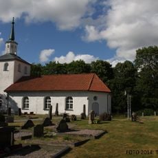
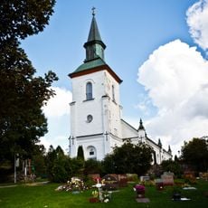
Sanne Church
6.9 km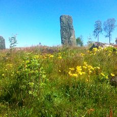
Ättehögskullen
8.2 km
Håvestens gravfält
8.2 km
Färgelanda 32:1
6.9 km
Färgelanda 52:1
3.1 km
Högsäter 86:1
7 km
Sanne 46:1
7.1 km
Högsäter 69:1
1.3 km
Sanne 46:2
7.1 km
Sanne 44:1
6.9 km
Sanne 38:2
5.5 km
Högsäter 30:1
8.3 km
Sanne 38:1
5.5 km
Krokstad 234:1
7.2 km
Krokstad 114:1
6.9 km
Hede 90:1
7.3 km
Femstenaröset,Kungsgraven
6.6 km
Rännelanda 66:1
4.6 km
Ödeborg 95:1
7.8 km
Sanne 18:1
7.3 km
Högsäter 33:1
7.9 km
Högsäter 33:2
7.9 km
Högsäter 58:1
824 m
Högsäter 63:1
802 m
Färgelanda 70:1
6.2 km
Högsäter 71:1
1.1 km
Färgelanda 57:1
2.3 kmReviews
Visited this place? Tap the stars to rate it and share your experience / photos with the community! Try now! You can cancel it anytime.
Discover hidden gems everywhere you go!
From secret cafés to breathtaking viewpoints, skip the crowded tourist spots and find places that match your style. Our app makes it easy with voice search, smart filtering, route optimization, and insider tips from travelers worldwide. Download now for the complete mobile experience.

A unique approach to discovering new places❞
— Le Figaro
All the places worth exploring❞
— France Info
A tailor-made excursion in just a few clicks❞
— 20 Minutes