Amnehärad 52:1, stone setting in Gullspång Municipality, Västra Götaland County, Sweden
Location: Gullspång Municipality
GPS coordinates: 58.98202,14.19279
Latest update: November 22, 2025 12:52
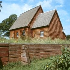
Södra Råda Old Church
2.5 km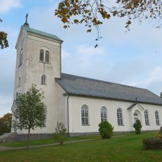
Södra Råda new Church
2.9 km
Stora Bergholmen
1.8 km
Södra Råda 8:4
1.7 km
Södra Råda 8:2
1.6 km
Södra Råda 74:2
2.9 km
Södra Råda 61:3
3 km
Södra Råda 61:1
3 km
Amnehärad 57:1
2.4 km
Södra Råda 49:1
1.4 km
Amnehärad 52:2
38 m
Södra Råda 110
3 km
Södra Råda 8:3
1.6 km
Södra Råda 16:1
2.6 km
Amnehärad 134:1
2 km
Södra Råda 58:1
2.5 km
Södra Råda 80:1
1.5 km
Södra Råda 61:2
3 km
Hagen
1.4 km
Södra Råda 8:1
1.6 km
Dumpen
1.9 km
Södra Råda 74:3
2.9 km
Amnehärad 135:1
2.2 km
Södra Råda 79:1
2.3 km
Södra Råda 74:1
2.9 km
Södra Råda 9:1
3.1 km
Amnehärad 134:2
2 km
Amnehärad 17:1
1 kmReviews
Visited this place? Tap the stars to rate it and share your experience / photos with the community! Try now! You can cancel it anytime.
Discover hidden gems everywhere you go!
From secret cafés to breathtaking viewpoints, skip the crowded tourist spots and find places that match your style. Our app makes it easy with voice search, smart filtering, route optimization, and insider tips from travelers worldwide. Download now for the complete mobile experience.

A unique approach to discovering new places❞
— Le Figaro
All the places worth exploring❞
— France Info
A tailor-made excursion in just a few clicks❞
— 20 Minutes