Ulricehamn 14:1, stenkammargrav i Västergötland
Location: Ulricehamn Municipality
GPS coordinates: 57.81896,13.42486
Latest update: June 15, 2024 09:12

Slottet vid Vist
389 m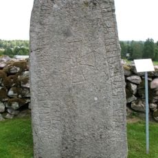
Vg 187
978 m
Timmele 56:1
1.4 km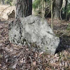
Ulricehamn 19:1
752 m
Ulricehamn 11:1
865 m
Timmele 57:1
1.3 km
Ulricehamn 48:2
558 m
Ulricehamn 48:3
562 m
Ulricehamn 15:1
115 m
Ulricehamn 58:1
475 m
Ulricehamn 79:1
489 m
Timmele 56:2
1.4 km
Ulricehamn 57:1
341 m
Timmele 57:2
1.3 km
Ulricehamn 77:2
733 m
Ulricehamn 16:1
94 m
Ulricehamn 13:1
61 m
Ulricehamn 52:1
1 km
Ulricehamn 51:1
862 m
Ulricehamn 77:1
733 m
Ulricehamn 66:1
1.1 km
Ulricehamn 48:1
568 m
Ulricehamn 50:1
713 m
Timmele 113:1
1.1 km
Timmele 139:1
1.3 km
Ulricehamn 49:1
636 m
Ulricehamn 78:1
545 m
Ulricehamn 12:1
177 mReviews
Visited this place? Tap the stars to rate it and share your experience / photos with the community! Try now! You can cancel it anytime.
Discover hidden gems everywhere you go!
From secret cafés to breathtaking viewpoints, skip the crowded tourist spots and find places that match your style. Our app makes it easy with voice search, smart filtering, route optimization, and insider tips from travelers worldwide. Download now for the complete mobile experience.

A unique approach to discovering new places❞
— Le Figaro
All the places worth exploring❞
— France Info
A tailor-made excursion in just a few clicks❞
— 20 Minutes