Ulricehamn 39:3, stenkrets i Västergötland
Location: Ulricehamn Municipality
GPS coordinates: 57.80445,13.39492
Latest update: November 21, 2025 06:23
Gemeinde Ulricehamn
847 m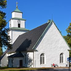
Ulricehamn Church
1.5 km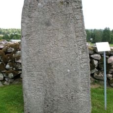
Vg 187
1.5 km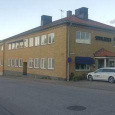
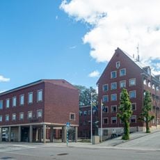
Ulricehamn Krämaren 4
1.5 km
Ulricehamn 46:1
465 m
Ulricehamn 39:2
12 m
Grand
1.5 km
Ulricehamn 25:1
1.7 km
Ulricehamn 25:2
1.7 km
Ulricehamn 35:4
656 m
Ulricehamn Svalan 2
1.7 km
Ansgarsgården, Ulricehamn
1.7 km
Ulricehamn 35:2
635 m
Ulricehamn 39:1
23 m
Ulricehamn 41:1
1.5 km
Ulricehamn 35:3
642 m
Konungarör
574 m
Konungarör
587 m
Ulricehamn 33:1
711 m
Ulricehamn 32:1
1.1 km
Sandåkers gravkapell
613 m
Ulricehamn 51:1
1.7 km
Ulricehamn 52:1
1.6 km
Ulricehamn 35:1
619 m
Ulricehamn 34:1
919 m
Ulricehamn 36:1
732 m
Ulricehamn Domherren 2
1.7 km
Ulricehamn 124
1.6 kmReviews
Visited this place? Tap the stars to rate it and share your experience / photos with the community! Try now! You can cancel it anytime.
Discover hidden gems everywhere you go!
From secret cafés to breathtaking viewpoints, skip the crowded tourist spots and find places that match your style. Our app makes it easy with voice search, smart filtering, route optimization, and insider tips from travelers worldwide. Download now for the complete mobile experience.

A unique approach to discovering new places❞
— Le Figaro
All the places worth exploring❞
— France Info
A tailor-made excursion in just a few clicks❞
— 20 Minutes