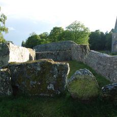
Barne-Åsaka 8:1, hällristning i Västergötland
Location: Essunga Municipality
GPS coordinates: 58.14661,12.82939
Latest update: October 26, 2025 04:05
Jättakullen
6 km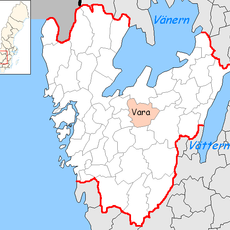
Virkelsborg
5.7 km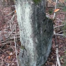
Södra Härene 18:1
5.1 km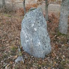
Södra Härene 20:1
4.8 km
Barne-Åsaka 18:1
1.7 km
Barne-Åsaka 7:1
105 m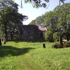
Södra Härene 5:1
6.6 km
Barne-Åsaka 19:1
2.1 km
Barne-Åsaka 19:2
2.1 km
Essunga 112:1
4.9 km
Lekåsa 10:1
3.3 km
Fåglum 5:1
4.2 km
Södra Härene 69:1
4.7 km
Eling 1:1
4.7 km
Eling 11:1
5.4 km
Södra Härene 68:1
5.1 km
Eling 25:1
4.2 km
Eling 9:1
5.7 km
Essunga 113:1
5 km
Fåglum 2:1
4 km
Lekåsa 8:1
3.3 km
Eling 8:1
6.2 km
Fåglum 16:1
4.5 km
Barne-Åsaka 10:2
114 m
"Stenkärn"
6.1 km
Eling 23:1
4.3 km
Södra Härene 65:1
5 km
Södra Härene 22:1
4.7 kmReviews
Visited this place? Tap the stars to rate it and share your experience / photos with the community! Try now! You can cancel it anytime.
Discover hidden gems everywhere you go!
From secret cafés to breathtaking viewpoints, skip the crowded tourist spots and find places that match your style. Our app makes it easy with voice search, smart filtering, route optimization, and insider tips from travelers worldwide. Download now for the complete mobile experience.

A unique approach to discovering new places❞
— Le Figaro
All the places worth exploring❞
— France Info
A tailor-made excursion in just a few clicks❞
— 20 Minutes