Hömb 14:1, hällristning i Västergötland
Location: Tidaholm Municipality
GPS coordinates: 58.23815,13.89496
Latest update: October 27, 2025 15:56

Kavlås Castle
1.7 km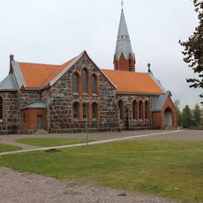
Vretens kyrka
4.6 km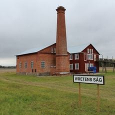
Vretens sågverk
4.6 km
Ingemo källa
4.2 km
Hömbs kyrka
800 m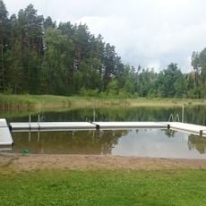
Bruksdammen
3.4 km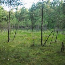
Alebäckakärret
4.8 km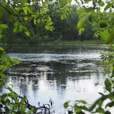
Alebäckasjön
4.9 km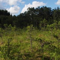
Nordsjömyren, Dala
4.6 km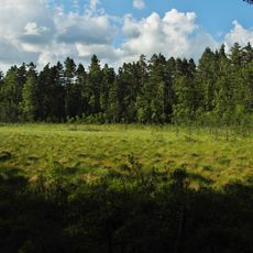
Mellomsjömyren, Dala
4.6 km
Hömb 12:1
1.9 km
Ljunghem 7:1
2.8 km
Public beach Bruksdammen
3.4 km
Kyrkerör
5.2 km
Hömb 4:1
751 m
Acklinga 15:1
5.4 km
Acklinga 15:2
5.4 km
Hömb 1:1
2.4 km
Hömb 1:2
2.4 km
Hömb 1:4
2.4 km
Acklinga 1:1
4.8 km
Hömb 5:1
726 m
Hömb 8:1
1.8 km
Hömb 9:1
1.5 km
Hömb 11:1
1.7 km
Hömb 11:2
1.7 km
Ljunghem 8:1
2.8 km
Hömb 18:1
3 kmReviews
Visited this place? Tap the stars to rate it and share your experience / photos with the community! Try now! You can cancel it anytime.
Discover hidden gems everywhere you go!
From secret cafés to breathtaking viewpoints, skip the crowded tourist spots and find places that match your style. Our app makes it easy with voice search, smart filtering, route optimization, and insider tips from travelers worldwide. Download now for the complete mobile experience.

A unique approach to discovering new places❞
— Le Figaro
All the places worth exploring❞
— France Info
A tailor-made excursion in just a few clicks❞
— 20 Minutes