Ryd 12:2, stenkrets i Västergötland
Location: Skövde Municipality
GPS coordinates: 58.43945,13.85250
Latest update: November 24, 2025 03:24
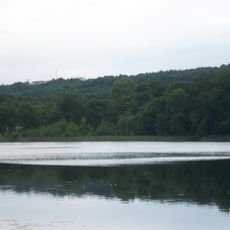
Karstorpasjön
2.2 km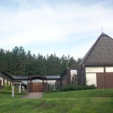
Sankt Matteus Kirke
1.7 km
Rånna-Ryd
1.7 km
Skåningstorpskärret
789 m
Säter 3:3
1.3 km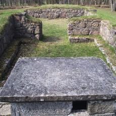
Ryds kyrkoruin
1.8 km
Säter 3:2
1.3 km
Ryds kyrkoruin
1.9 km
Mosebacke
989 m
Ymsingsborg
1.6 km
Ryd 23:1
1.6 km
Säter 3:1
1.3 km
Ryd 14:3
2 km
Ryd 11:1
1.4 km
Ryd 11:2
1.4 km
Ryd 12:1
23 m
Säter 7:1
2.2 km
Ryd 15:2
2 km
De sju kullarna
1.7 km
Ryd 14:4
2 km
Ryd 15:1
2 km
Ryd 14:2
2 km
Skövde 88:1
2.2 km
Ryd 40:1
1.8 km
Ryd 42:1
1.6 km
Ryd 14:1
2 km
Ryds kyrkoruin
1.8 km
Ryds grottor
2 kmReviews
Visited this place? Tap the stars to rate it and share your experience / photos with the community! Try now! You can cancel it anytime.
Discover hidden gems everywhere you go!
From secret cafés to breathtaking viewpoints, skip the crowded tourist spots and find places that match your style. Our app makes it easy with voice search, smart filtering, route optimization, and insider tips from travelers worldwide. Download now for the complete mobile experience.

A unique approach to discovering new places❞
— Le Figaro
All the places worth exploring❞
— France Info
A tailor-made excursion in just a few clicks❞
— 20 Minutes