Långelanda 39:1, stone setting in Orust Municipality, Gothenburg and Bohus County, Sweden
Location: Orust Municipality
GPS coordinates: 58.11359,11.76033
Latest update: November 22, 2025 12:09
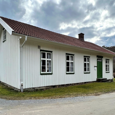
Burås school museum
2.6 km
Orusts och Tjörns domsaga
3.1 km
Stala 73:4
2.3 km
Långelanda 41:1
931 m
Ödsmål 115:2
3 km
Galterön lighthouse
2.7 km
Stala 352
3.3 km
Stala 73:2
2.4 km
Långelanda 45:1
1.9 km
Stala 73:1
2.4 km
Långelanda 50:1
1.9 km
Stora Askeröns hembygdsförening
2.5 km
Stala 103:1
3.4 km
Stala 341
2.8 km
Norum 132:1
2.5 km
Långelanda 76:1
3 km
Långelanda 54:1
1.7 km
Stala 348
3.5 km
Långelanda 75:1
3.1 km
Stala 116:1
3.4 km
Norum 133:1
2 km
Ödsmål 115:1
3 km
Stala 346
3.5 km
Långelanda 51:1
2.7 km
Långelanda 44:1
2.2 km
Stala 73:3
2.3 km
Långelanda 38:1
494 m
Stala 356
3.3 kmReviews
Visited this place? Tap the stars to rate it and share your experience / photos with the community! Try now! You can cancel it anytime.
Discover hidden gems everywhere you go!
From secret cafés to breathtaking viewpoints, skip the crowded tourist spots and find places that match your style. Our app makes it easy with voice search, smart filtering, route optimization, and insider tips from travelers worldwide. Download now for the complete mobile experience.

A unique approach to discovering new places❞
— Le Figaro
All the places worth exploring❞
— France Info
A tailor-made excursion in just a few clicks❞
— 20 Minutes