Vångberget, husgrund, historisk tid i Västergötland (Askim 83:2)
Location: Gothenburg Municipality
GPS coordinates: 57.56462,11.93083
Latest update: June 15, 2024 10:15
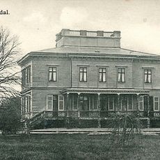
Billdals herrgård
2.2 km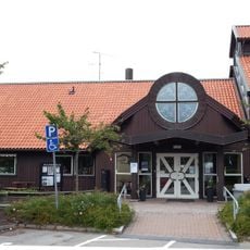
Kullavikskyrkan
2.1 km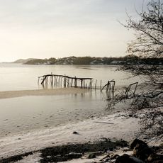
Stora Amundö och Billdals skärgårds naturreservat
2.1 km
Släp 84:1
1.9 km
Askim 82:2
2.1 km
Askim 82:1
2.1 km
Släp 84:2
1.9 km
Askim 69:1
1.7 km
Askim 68:1
1.4 km
Askim 81:1
1.3 km
Askim 268:1
1.7 km
Askim 268:2
1.7 km
Askim 269:1
1.8 km
Släp 6:1
1.9 km
Kullavik nedre
1.8 km
Släp 12:1
2.2 km
Askim 72:2
1.9 km
Askim 133:1
1.9 km
Askim 72:1
1.8 km
Släp 5:1
2 km
Släp 11:1
2 km
Kullavik övre
1.8 km
Åsdammsstigen
2.4 km
Släp 24:1
1.3 km
Släp 13:1
2.2 km
Scenic viewpoint
410 m
Scenic viewpoint
408 m
Scenic viewpoint
327 mReviews
Visited this place? Tap the stars to rate it and share your experience / photos with the community! Try now! You can cancel it anytime.
Discover hidden gems everywhere you go!
From secret cafés to breathtaking viewpoints, skip the crowded tourist spots and find places that match your style. Our app makes it easy with voice search, smart filtering, route optimization, and insider tips from travelers worldwide. Download now for the complete mobile experience.

A unique approach to discovering new places❞
— Le Figaro
All the places worth exploring❞
— France Info
A tailor-made excursion in just a few clicks❞
— 20 Minutes