Hagfors 17:1, röse i Värmland
Location: Hagfors Municipality
GPS coordinates: 59.94105,13.68900
Latest update: October 29, 2025 09:40

Hagfors Municipality
10.1 km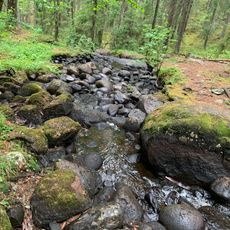
Mana-Örbäcken
10.5 km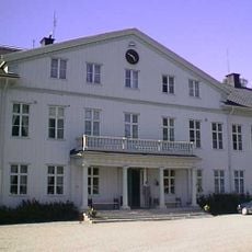
Uddeholms herrgård
9.5 km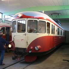
Hagfors railroad museum
9.1 km
Norra Råda 122
13.4 km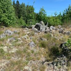
Trollröset
14.1 km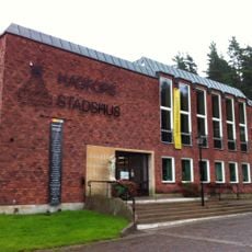
Hagfors city hall
10.1 km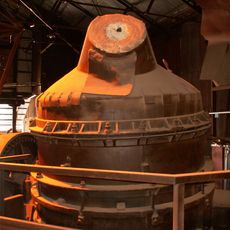
Bessemerverket i Hagfors
10.2 km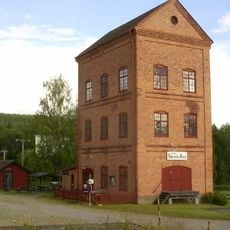
Stjärnfors
11 km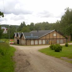
Munkfors bruk
13.3 km
Norra Råda 19:2
8.2 km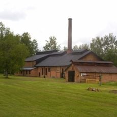
Munkfors herrgård och Martinverk
13.3 km
Hagfors 13:1
7.3 km
Hagfors 15:1
3.9 km
Hagfors 12:1
7.6 km
Sagostigen End
10.3 km
Hembygdsgård
9.4 km
Kolbotten
13.8 km
Fångstgrop
13.2 km
Sagostigen Start
10 km
Dressinåkning
11 km
Stjärnsfors Kvarn
11 km
Lidsbron
2.7 km
Legendarisk dunder sten
13.9 km
Bumling
13.9 km
Fantasipark
13 km
Scenic viewpoint
9.4 km
Scenic viewpoint
11.5 kmReviews
Visited this place? Tap the stars to rate it and share your experience / photos with the community! Try now! You can cancel it anytime.
Discover hidden gems everywhere you go!
From secret cafés to breathtaking viewpoints, skip the crowded tourist spots and find places that match your style. Our app makes it easy with voice search, smart filtering, route optimization, and insider tips from travelers worldwide. Download now for the complete mobile experience.

A unique approach to discovering new places❞
— Le Figaro
All the places worth exploring❞
— France Info
A tailor-made excursion in just a few clicks❞
— 20 Minutes