Nor 39:5, hällristning i Värmland
Location: Karlstad Municipality
GPS coordinates: 59.43870,13.26843
Latest update: November 2, 2025 18:20
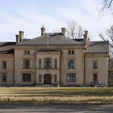
Höglunda
2.1 km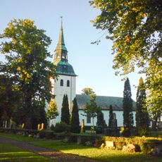
Nors kyrka
4 km
Nor 75:2
4.1 km
Grava 8:1
8.4 km
Nor 75:1
4.1 km
Alguts hög
7.6 km
Alguts hög
7.6 km
Alguts hög
7.7 km
Grava 17:2
6.3 km
Nor 28:1
2.9 km
Stora Kil 99:1
8.7 km
Segerstad 25:1
7.6 km
Nor 60:1
2.4 km
Segerstad 21:1
7.7 km
Segerstad 16:2
8.8 km
Rönnkullen
6.1 km
Nor 42:1
2 km
Nor 76:1
3.9 km
Segerstad 82:1
8.5 km
Segerstad 16:1
8.8 km
Nor 62:1
5.9 km
Segerstad 79:1
8 km
Nor 30:1
3.5 km
Nor 15:1
8.2 km
Segerstad 156
7.8 km
Fornborgen på Hökberget
4.1 km
Fornborgen på Lompberget
6.7 km
Work of art, installation artwork
6.3 kmReviews
Visited this place? Tap the stars to rate it and share your experience / photos with the community! Try now! You can cancel it anytime.
Discover hidden gems everywhere you go!
From secret cafés to breathtaking viewpoints, skip the crowded tourist spots and find places that match your style. Our app makes it easy with voice search, smart filtering, route optimization, and insider tips from travelers worldwide. Download now for the complete mobile experience.

A unique approach to discovering new places❞
— Le Figaro
All the places worth exploring❞
— France Info
A tailor-made excursion in just a few clicks❞
— 20 Minutes