Lerbäck 401:1, stone setting in Närke, Sweden
Location: Askersund Municipality
GPS coordinates: 58.85451,15.15205
Latest update: November 23, 2025 21:23
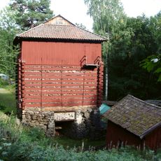
Trehörnings masugn
819 m
Orkarebäcken
4.5 km
Runsala
1.5 km
Sörsjön
3.6 km
Lerbäck 284:2
2 km
Lerbäck 23:2
5 km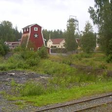
Zinkgruvan gruvmuseum
6 km
Lerbäck 401:2
14 m
Lerbäck 7:1
5.5 km
Lerbäck 432:2
2.3 km
Lerbäck 284:1
2 km
Lerbäck 2:3
3.6 km
Lerbäck 5:1
2.6 km
Lerbäck 12:2
3.8 km
Lerbäck 13:1
3.8 km
Äskedalsröset
4.4 km
Lerbäck 23:1
5 km
Godegård 43:1
5.6 km
Lerbäck 277:1
3.6 km
Sticksfallet
4.9 km
Lerbäck 12:1
3.8 km
Lerbäck 2:1
3.6 km
Lerbäck 402:1
158 m
Lerbäck 432:1
2.3 km
Brahus
3.9 km
Lerbäck 2:2
3.6 km
Kristoffers röse
5.4 km
Kristoffers kulle
4.8 kmReviews
Visited this place? Tap the stars to rate it and share your experience / photos with the community! Try now! You can cancel it anytime.
Discover hidden gems everywhere you go!
From secret cafés to breathtaking viewpoints, skip the crowded tourist spots and find places that match your style. Our app makes it easy with voice search, smart filtering, route optimization, and insider tips from travelers worldwide. Download now for the complete mobile experience.

A unique approach to discovering new places❞
— Le Figaro
All the places worth exploring❞
— France Info
A tailor-made excursion in just a few clicks❞
— 20 Minutes