Lövånger 75:1, röse i Västerbotten
Location: Skellefteå Municipality
GPS coordinates: 64.43869,21.55242
Latest update: October 28, 2025 18:54
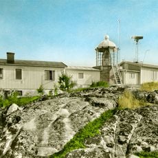
Bjuröklubb
4.8 km
Lövångers kommun
14 km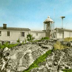
Bjuröklubb lighthouse
4.8 km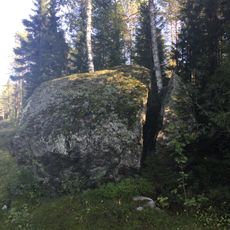
Mjölkstenen
12.6 km
Lövånger 56:1
14.7 km
Lövånger 54:1
14.6 km
Lövånger 82:1
2.7 km
Lövånger 267:1
15 km
Lövånger 267:2
15.1 km
Lövånger 471:1
1 km
Bureå 31:1
13 km
Lövånger 476:2
2.6 km
Lövånger 76:1
270 m
Lövånger 24:1
15.1 km
Lövånger 482:4
2.6 km
Lövånger 476:1
2.6 km
Lövånger 266:1
14.9 km
Lövånger 28:1
13.6 km
Lövånger 148:1
3 km
Lövånger 55:1
14.7 km
Bureå 55:1
14.8 km
Lövånger 57:1
14.8 km
Lövånger 73:2
3.7 km
Bureå 54:1
14.5 km
Lövånger 77:1
527 m
Bureå 34:1
14 km
Lövånger kyrkby
13.7 km
Scenic viewpoint
4.8 kmReviews
Visited this place? Tap the stars to rate it and share your experience / photos with the community! Try now! You can cancel it anytime.
Discover hidden gems everywhere you go!
From secret cafés to breathtaking viewpoints, skip the crowded tourist spots and find places that match your style. Our app makes it easy with voice search, smart filtering, route optimization, and insider tips from travelers worldwide. Download now for the complete mobile experience.

A unique approach to discovering new places❞
— Le Figaro
All the places worth exploring❞
— France Info
A tailor-made excursion in just a few clicks❞
— 20 Minutes