
Västerås 646:4, stone setting in Västmanland, Sweden
Location: Västerås Municipality
GPS coordinates: 59.62479,16.44035
Latest update: July 24, 2025 20:42
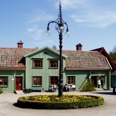
Vallby friluftsmuseum
4.4 km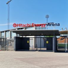
Hitachi Energy Arena
5.1 km
Arosvallen
5.7 km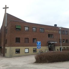
Pingstkyrkan, Västerås
5.5 km
Krumeluren, Västerås
4.7 km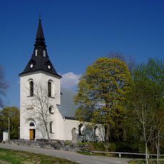
Skerike Church
3.1 km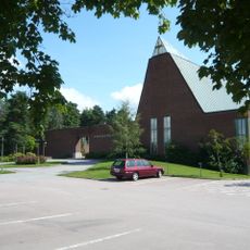
Ansgarskyrkan, Västerås
4.6 km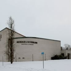
Mikaelikyrkan, Västerås
4.9 km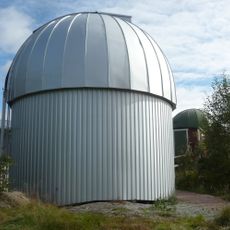
Åkesta observatorium
5.3 km
Centrala staden, Västerås
5.2 km
Lillhärads kyrka
5 km
Bäckbykyrkan
3.2 km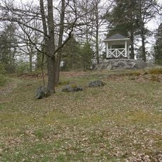
Djäkneberget-Stallhagen
5.7 km
Aroslund-Blåsbo
5.2 km
Eriksborg-Hagaberg-Erikslund
1.9 km
Sparvens kapell
3.6 km
Stohagen-Spantgatan
5.5 km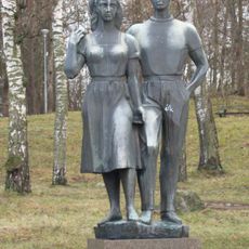
Sommarsöndag
5.6 km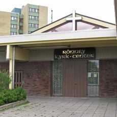
Rönnby kyrk-center
4.6 km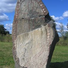
Vs 9
4.9 km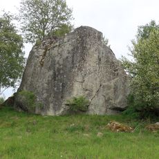
Ett flyttblock
4.7 km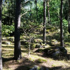
Västerås 115:1
1.8 km
En gran
2.2 km
En större tall
5.3 km
Västerås 111:1
3.9 km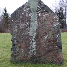
Vs 10 Saltängsbron Västerås
4.9 km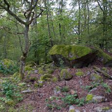
Västerås 113:1
3.3 km
Västerås 120:1
3.5 kmReviews
Visited this place? Tap the stars to rate it and share your experience / photos with the community! Try now! You can cancel it anytime.
Discover hidden gems everywhere you go!
From secret cafés to breathtaking viewpoints, skip the crowded tourist spots and find places that match your style. Our app makes it easy with voice search, smart filtering, route optimization, and insider tips from travelers worldwide. Download now for the complete mobile experience.

A unique approach to discovering new places❞
— Le Figaro
All the places worth exploring❞
— France Info
A tailor-made excursion in just a few clicks❞
— 20 Minutes