
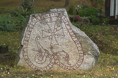
Uppland Runic Inscription 472, runristning i Uppland (Knivsta 81:1)
Location: Knivsta Municipality
GPS coordinates: 59.69366,17.77288
Latest update: March 7, 2025 19:27
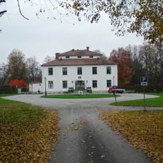
Noors slott
539.4 km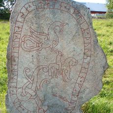
Uppland Runic Inscription 448
5.4 km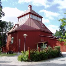
Sankta Birgitta kyrka, Knivsta
3.7 km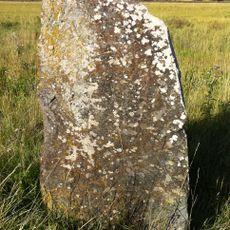
Uppland Runic Inscription 442
5.4 km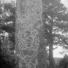
Uppland Runic Inscription 460
3.2 km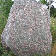
Uppland Runic Inscription 480
5.4 km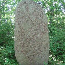
Uppland Runic Inscription 463
3.1 km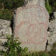
Uppland Runic Inscription 461
4.7 km
Ängby stone
4 km
Uppland Runic Inscription 466
663 m
Askarehage
4.9 km
Rickebasta alsumpskog
5.4 km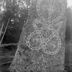
Uppland Runic Inscription 459
3.3 km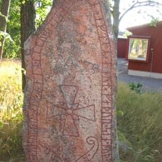
Uppland Runic Inscription 471
3.7 km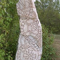
Uppland Runic Inscription 462
2.3 km
Gredelby hagar och Trunsta träsk
5 km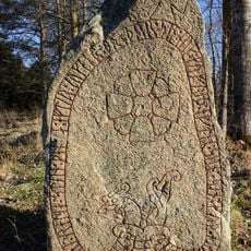
Upplands runinskrifter 474
1.8 km
Uppland Runic Inscription 479
5.5 km
Uppland Runic Inscription 467
636 m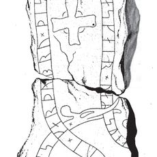
Uppland Runic Inscription 476
1.8 km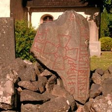
Upplands runinskrifter 470
2.4 km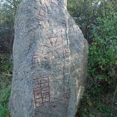
Upplands runinskrifter Fv1976;108
648 m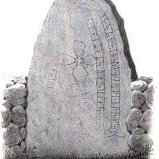
Uppland Runic Inscription 327
4.7 km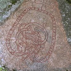
Uppland Runic Inscription 475
1.9 km
Uppland Runic Inscription 468
1.4 km
Uppland Runic Inscription 473
232 m
Skottsila f.d. mönsterskrivarboställe
590 m
Lill-Kumla gård
5.4 kmVisited this place? Tap the stars to rate it and share your experience / photos with the community! Try now! You can cancel it anytime.
Discover hidden gems everywhere you go!
From secret cafés to breathtaking viewpoints, skip the crowded tourist spots and find places that match your style. Our app makes it easy with voice search, smart filtering, route optimization, and insider tips from travelers worldwide. Download now for the complete mobile experience.

A unique approach to discovering new places❞
— Le Figaro
All the places worth exploring❞
— France Info
A tailor-made excursion in just a few clicks❞
— 20 Minutes