
Fd. Tygstationen i Boden
Location: Boden Municipality
Inception: 1906
GPS coordinates: 65.82874,21.62824
Latest update: March 12, 2025 16:46
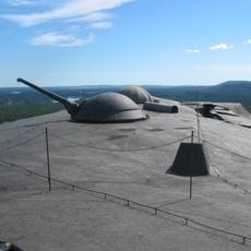
Boden Fortress
4.4 km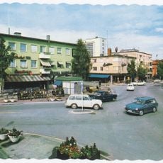
Boden Municipality
1.8 km
Boden Garrison
1.1 km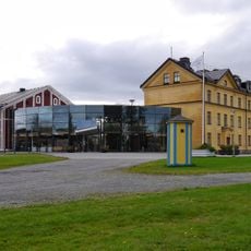
Försvarsmuseum Boden
3.5 km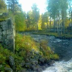
Alån
31.9 km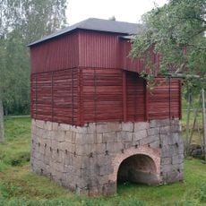
Rosfors bruk
29.4 km
Boden Fortress Radio Bunker
1.9 km
Råneå Church
30.1 km
Skogskapellet
7.2 km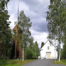
Gunnarsbyns kyrka
30.1 km
Bälingeberget
25.4 km
Friluftsmuseet Hägnan
27.5 km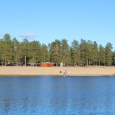
Aldersjön
4.9 km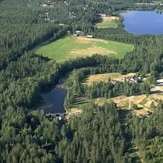
Selets bruk
18.9 km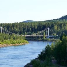
Svedjebron
3.6 km
Matteuskyrkan, Boden
5.6 km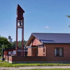
Rörvikskyrkan
3.2 km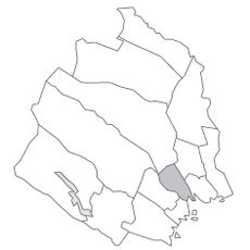
Råneå tingslag
30.5 km
Gammelstadsviken
30.1 km
Mikaelskyrkan, Boden
2.6 km
Oats Warehouse County Hall of Arts
1.1 km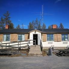
Fästningsguiden i Norr AB
4.4 km
Överluleå 54:1
3.1 km
Public beach Aldersjön
4.9 km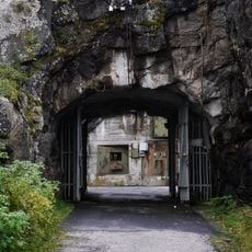
Rödbergsfortet
4.4 km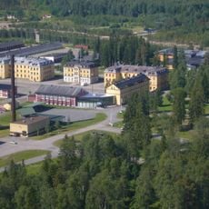
Försvarsmuseum Boden
3.5 km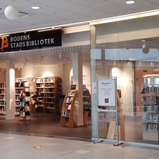
Boden Public Library
2.7 km
Mariakyrkan
9.3 kmReviews
Visited this place? Tap the stars to rate it and share your experience / photos with the community! Try now! You can cancel it anytime.
Discover hidden gems everywhere you go!
From secret cafés to breathtaking viewpoints, skip the crowded tourist spots and find places that match your style. Our app makes it easy with voice search, smart filtering, route optimization, and insider tips from travelers worldwide. Download now for the complete mobile experience.

A unique approach to discovering new places❞
— Le Figaro
All the places worth exploring❞
— France Info
A tailor-made excursion in just a few clicks❞
— 20 Minutes