Högabråten, naturminne i Vaggeryds kommun
Location: Vaggeryd Municipality
Inception: December 10, 1940
GPS coordinates: 57.40959,14.08572
Latest update: November 21, 2025 15:43
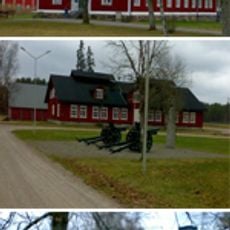
Skillingaryd military range
2.3 km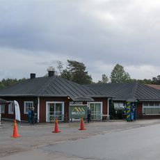
Miliseum
2.2 km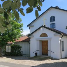
Skillingaryds kyrka
2.5 km
Tofteryd 65:3
2.6 km
Åker 126:2
2.2 km
Makarör (Drakarör)
2.7 km
Makarör (Drakarör)
2.7 km
Vagnsmuseum
2.3 km
Tofteryd 124:1
2.5 km
Tofteryd 65:1
2.6 km
Åker 137:1
109 m
Tofteryd 65:2
2.6 km
Åker 102:1
739 m
Åker 110:1
491 m
Åker 107:1
1.3 km
Åker 113:1
1.2 km
Åker 108:2
1.2 km
Åker 111:1
1.1 km
Tofteryd 95:1
2.6 km
Åker 109:1
600 m
Åker 108:1
1.2 km
Åker 126:1
2.2 km
Åker 106:1
1.3 km
Åker 136:1
1.3 km
Viedalen
2.1 km
Konstverk
2.3 km
Konstverk
2.1 km
Konstverk
2.1 kmReviews
Visited this place? Tap the stars to rate it and share your experience / photos with the community! Try now! You can cancel it anytime.
Discover hidden gems everywhere you go!
From secret cafés to breathtaking viewpoints, skip the crowded tourist spots and find places that match your style. Our app makes it easy with voice search, smart filtering, route optimization, and insider tips from travelers worldwide. Download now for the complete mobile experience.

A unique approach to discovering new places❞
— Le Figaro
All the places worth exploring❞
— France Info
A tailor-made excursion in just a few clicks❞
— 20 Minutes