2004113 En bergsgrotta "Bond Olles Bussu", naturminne i Gagnefs kommun
Location: Gagnef Municipality
Inception: November 28, 1959
GPS coordinates: 60.43879,15.00770
Latest update: November 28, 2025 07:22
Gagnef Municipality
6.8 km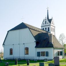
Mockfjärds kyrka
7 km
Tanså hytta
6 km
Säl
7.3 km
Prästbuan
5.1 km
Tryssjöberget
5 km
Stormyrberget
888 m
Flomyrans naturreservat
2.1 km
Sälskapets naturreservat
6.3 km
2004049 (W-id) Ett flyttblock "Tansstenen"
7 km
Nybergets fäbodar
6.9 km
Gagnef 160:1
6.5 km
Nybergets fäbodar
6.6 km
Zachris Olles torp
5 km
Nybergets fäbodar
7.1 km
Stockgropen
7 km
Gagnef 36:1
7 km
Prästbodarna
4.7 km
Nybergets fäbodar
6.9 km
Älbergets fäbod
7.3 km
Holbodarna
7.1 km
Finntorpet
7 km
Tryssjöbodarna
4.5 km
Tryssjöbodarna
4 km
Ösjöbodarna
3 km
Ösjöbodarna
3 km
Backbodarna
243 m
Täljstenen
6.1 kmReviews
Visited this place? Tap the stars to rate it and share your experience / photos with the community! Try now! You can cancel it anytime.
Discover hidden gems everywhere you go!
From secret cafés to breathtaking viewpoints, skip the crowded tourist spots and find places that match your style. Our app makes it easy with voice search, smart filtering, route optimization, and insider tips from travelers worldwide. Download now for the complete mobile experience.

A unique approach to discovering new places❞
— Le Figaro
All the places worth exploring❞
— France Info
A tailor-made excursion in just a few clicks❞
— 20 Minutes