Alm, 2 askar, Majtorp, naturminne i Askersunds kommun
Location: Askersund Municipality
Inception: October 25, 1956
GPS coordinates: 58.95167,14.85529
Latest update: June 15, 2024 11:59

Tjälvesta
1.7 km
Borgaberget
1 km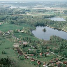
Snavlunda
2.9 km
Myggedalen
3 km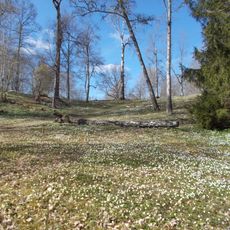
Tjälvesta
2.4 km
Torpadalen
748 m
Väderkvarnsbacken
7.1 km
Nygårdsvulkanens kalkbarrskog
5.3 km
Kattegullsberget
5.1 km
Ödesdovra
7.1 km
Veden, public beach
1.6 km
Tjälves grav
1.8 km
Snavlunda 69:1
505 m
Snavlunda 12:1
2.9 km
Askersund 130:1
7.5 km
Snavlunda 74:1
6.4 km
Snavlunda 6:1
1.3 km
Snavlunda 5:1
1.3 km
Snavlunda 79:2
2.1 km
Snavlunda 79:1
2.1 km
Askersund 121:2
6.1 km
Askersund 121:1
6.1 km
Snavlunda 1:2
5.5 km
Askersund 124:1
6.4 km
Askersund 126:1
7 km
Snavlunda 1:1
5.5 km
Snavlunda 8:1
4.4 km
Snavlunda 8:2
4.4 kmReviews
Visited this place? Tap the stars to rate it and share your experience / photos with the community! Try now! You can cancel it anytime.
Discover hidden gems everywhere you go!
From secret cafés to breathtaking viewpoints, skip the crowded tourist spots and find places that match your style. Our app makes it easy with voice search, smart filtering, route optimization, and insider tips from travelers worldwide. Download now for the complete mobile experience.

A unique approach to discovering new places❞
— Le Figaro
All the places worth exploring❞
— France Info
A tailor-made excursion in just a few clicks❞
— 20 Minutes