Västerås Djuphamn Röda övre, منارة في فيستيروس، السويد
Location: Västerås Municipality
Inception: 1977
GPS coordinates: 59.59269,16.52397
Latest update: November 23, 2025 19:51
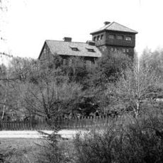
Villa Asea
1.4 km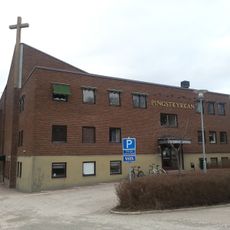
Pingstkyrkan, Västerås
1.5 km
Krumeluren, Västerås
1.4 km
Mikaelikyrkan, Västerås
1.5 km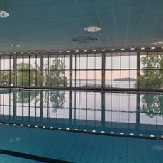
Lögarängsbadet
828 m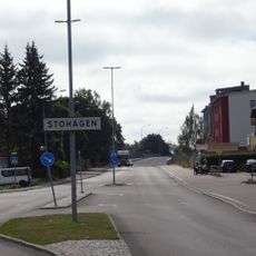
Stohagen-Spantgatan
820 m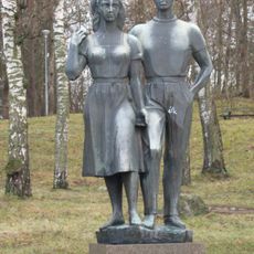
Sommarsöndag
1.4 km
Vs 9
1.7 km
Kattskär
1.3 km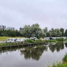
Västerås Wake Park
1.6 km
Saltängsbron
1.7 km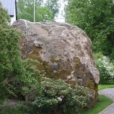
Ett större flyttblock
1.5 km
Västerås lighthouse
1.8 km
S:ta Gertruds kapell
940 m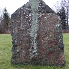
Vs 10 Saltängsbron Västerås
1.7 km
Djuphamnsbassängen nedre
851 m
Public beach Lögastrand
1.1 km
Västerås Djuphamn Gröna nedre
111 m
Västerås Djuphamn Gröna övre
81 m
Västerås Djuphamn Röda nedre
71 m
Västerås 271:1
1.3 km
Västerås 1211
1.6 km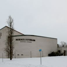
Mikaelikyrkan
1.5 km
Djuphamnsbassängen övre
910 m
Västerås 1204
1.6 km
Västerås 273:1
1.4 km
Work of art
1.6 km
Scenic viewpoint
1.5 kmReviews
Visited this place? Tap the stars to rate it and share your experience / photos with the community! Try now! You can cancel it anytime.
Discover hidden gems everywhere you go!
From secret cafés to breathtaking viewpoints, skip the crowded tourist spots and find places that match your style. Our app makes it easy with voice search, smart filtering, route optimization, and insider tips from travelers worldwide. Download now for the complete mobile experience.

A unique approach to discovering new places❞
— Le Figaro
All the places worth exploring❞
— France Info
A tailor-made excursion in just a few clicks❞
— 20 Minutes