Köpmanholmen nedre, منارة في السويد
Location: Örnsköldsvik Municipality
GPS coordinates: 63.17558,18.58431
Latest update: November 4, 2025 13:22
Balesudden
5.3 km
Herrgårdsudden
2 km
Nätra tingslag
4.8 km
Hummelvik
3.8 km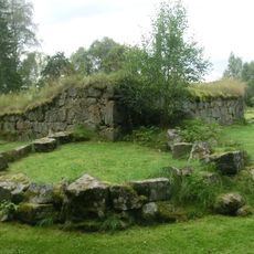
Nätra gamle Kirke
4.1 km
Nätra 153:1
4.2 km
Nätra 13:1
3.6 km
Köpmanholmen övre
35 m
Nätra 260:2
1.1 km
Nätra 11:1
3.1 km
Nätra 15:4
4.1 km
Nätra 15:2
4.1 km
Nätra 50:1
4.5 km
Nätra 25:1
5.2 km
Nätra 16:1
4.9 km
Bruksmuseet Köpmanholmen
920 m
Nätra 15:3
4.1 km
Nätra 50:2
4.5 km
Nätra 160:1
5 km
Nätra 12:1
3.6 km
Nätra 260:1
1.1 km
Nätra 15:1
4.1 km
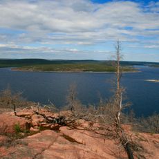
Scenic viewpoint
4.3 km
Scenic viewpoint
4.9 km
Scenic viewpoint
5.2 km
Scenic viewpoint
3.2 km
Scenic viewpoint
2.3 km
Scenic viewpoint
2.6 kmReviews
Visited this place? Tap the stars to rate it and share your experience / photos with the community! Try now! You can cancel it anytime.
Discover hidden gems everywhere you go!
From secret cafés to breathtaking viewpoints, skip the crowded tourist spots and find places that match your style. Our app makes it easy with voice search, smart filtering, route optimization, and insider tips from travelers worldwide. Download now for the complete mobile experience.

A unique approach to discovering new places❞
— Le Figaro
All the places worth exploring❞
— France Info
A tailor-made excursion in just a few clicks❞
— 20 Minutes